


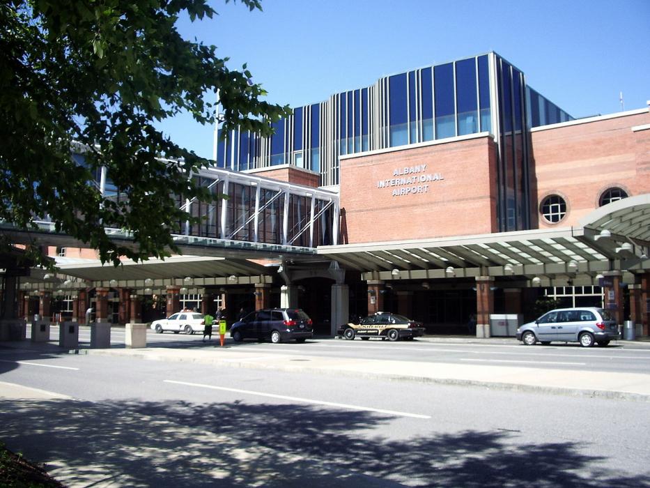
Gallery


Map and nearest places
| Longitude | Latitude |
|---|---|
| 42.748333333333306 | -73.8016666666667 |
| 42°44'0"N | 73°48'0"W |
| Nearest places | ||
|---|---|---|
| Troy | 9.1km | |
 | Albany | 11.4km |
| Schenectady | 12.2km | |
| Clifton Park | 13.2km | |
| Schenectady County Airport | 15.6km | |
| Saratoga County Airport | 34.0km | |
| Saratoga Springs | 36.4km | |
| Valatie | 38.6km | |
| William H. Morse State Airport | 48.0km | |
| Columbia County Airport | 51.4km | |
| Harriman-and-West Airport | 51.9km | |
| Pittsfield Municipal Airport | 54.9km | |
| John Paul II International Airport | 6,737.1km | |
| Busselton Regional Airport | 18,728.6km | |
General informations
| Airport type | Regional airport |
| ICAO | KALB |
| IATA | ALB |
| FAA | ALB |
| TC LID | 285 ft / 87 m MSL |
| World Pax Ranking 2016 | #434 |
| World Pax Ranking 2014 | #2498(-2068) |
| World Pax Ranking 2013 | #430(+2005) |
| World Pax Ranking 2012 | #2435(-92) |
| World Pax Ranking 2011 | #2343(-1958) |
| World Pax Ranking 2010 | #385(-27) |
| Year | Pax |
|---|---|
| 2024 | 2973000 |
| 2023 | 2750000 |
| 2022 | 2552000 |
| 2021 | 1932402 |
| 2019 | 2992984 |
| 2018 | 2882012 |
| 2016 | 2813013 |
| 2014 | 0 |
| 2013 | 2393506 |
| 2012 | 0 |
| 2011 | 0 |
| 2010 | 2531323 |
| 2009 | 2630578 |
| 2008 | 2750777 |
| 2007 | 2874277 |
| 2006 | 2899460 |
| 2005 | 3100743 |
| 2004 | 3110879 |
| 2003 | 2863967 |
| 2002 | 2948389 |
| 2001 | 3019810 |
| 2000 | 2876817 |
| 1999 | 2354091 |
| 1998 | 2268420 |
| 1997 | 2128466 |
| 1996 | 2029393 |
| 1995 | 2074611 |
Weblinks
Comments
You need to log in to add comment