


Gallery


Map and nearest places
| Longitude | Latitude |
|---|---|
| -51.822777777777794 | -58.447222222222194 |
| 51°49'0"S | 58°26'0"W |
| Nearest places | ||
|---|---|---|
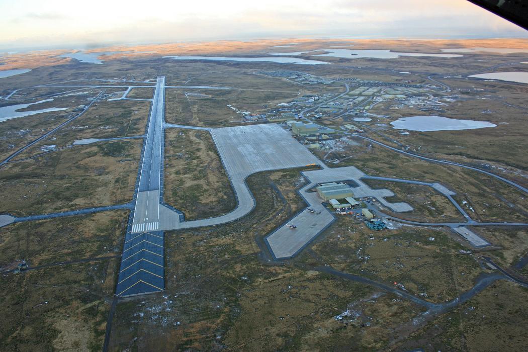
| Port Stanley Airport | 0.0km | |
| Mount Pleasant | 0.0km | |
 | Port Stanley | 43.3km |
| Tolhuin Lago Fagnano Airport | 652.8km | |
| Tolhuin | 654.3km | |
| Tolhuin | 654.7km | |
| Rio Grande | 658.5km | |
| Rio Grande Airport | 661.5km | |
 | Puerto Williams | 698.4km |
| Guardiamarina Zanartu Airport | 699.4km | |
| Puerto Desado Airport | 701.7km | |
| Capitan Jose D. Vasquez Airport | 716.9km | |
| John Paul II International Airport | 13,506.3km | |
| Mohe Gulian Airport | 19,879.5km | |
General informations
| ICAO | EGYP |
Weblinks
Comments
You need to log in to add comment