


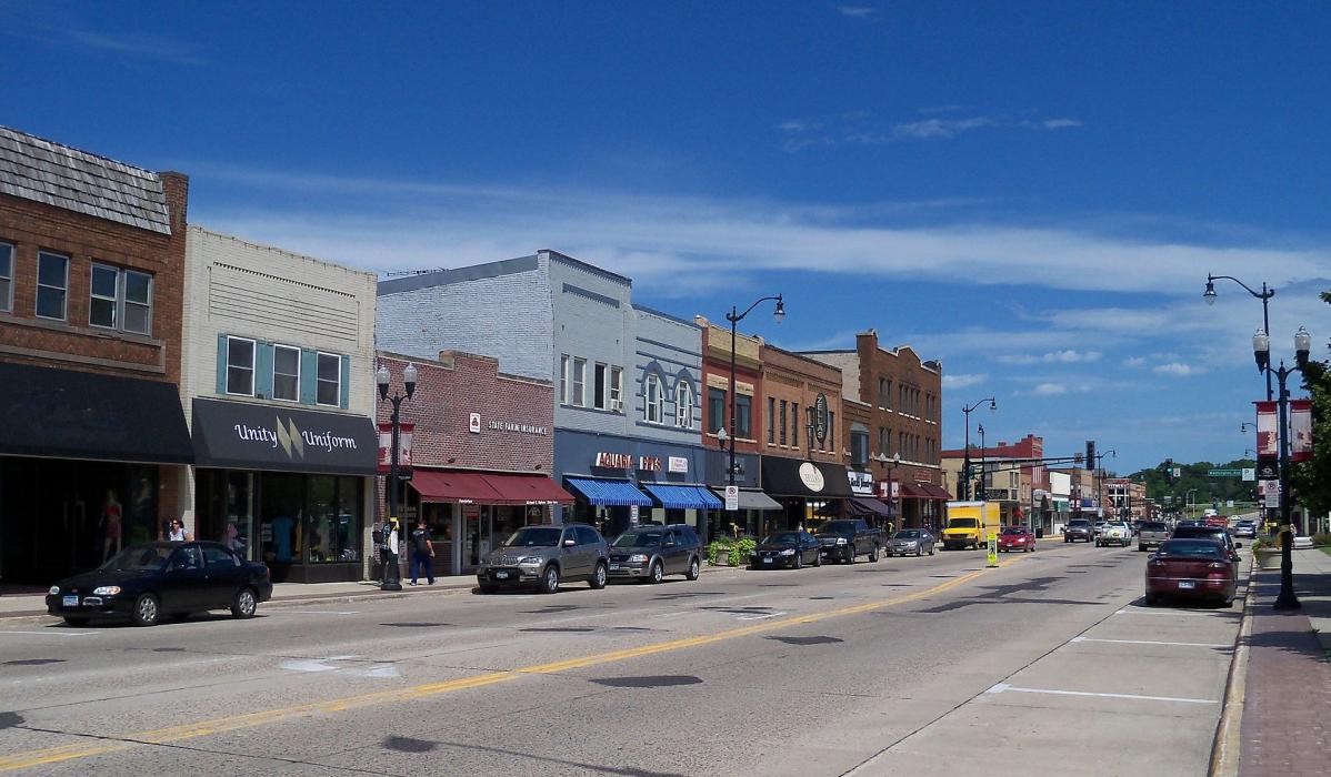
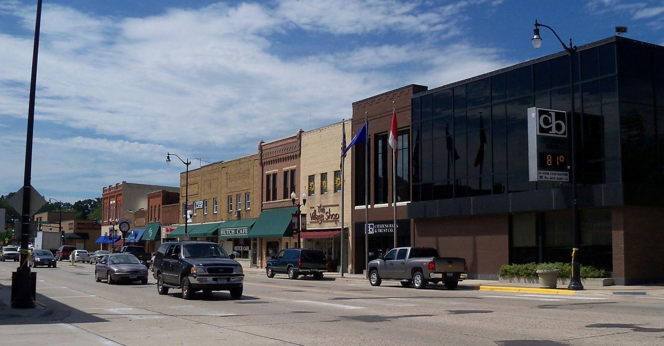
Gallery


Map and nearest places
| Longitude | Latitude |
|---|---|
| 44.8861111111111 | -94.3697222222222 |
| 44°53'0"N | 94°22'0"W |
| Nearest places | ||
|---|---|---|
| Hutchinson Municipal Airport | 3.1km | |
| Glencoe | 21.6km | |
| Litchfield | 29.6km | |
| Waconia | 46.1km | |
| Maple Lake | 47.9km | |
| Delano | 48.9km | |
| Maple Lake Municipal Airport | 49.2km | |
| Buffalo | 50.2km | |
| Buffalo Municipal Airport | 51.3km | |
| New Ulm Municipal Airport | 63.9km | |
| Willmar Municipal Airport | 65.1km | |
| Flying Cloud Airport | 72.2km | |
| John Paul II International Airport | 7,694.3km | |
| Busselton Regional Airport | 17,188.8km | |
Restaurants
Golfs club
Wineries
Airports
Weblinks
Comments
You need to log in to add comment