


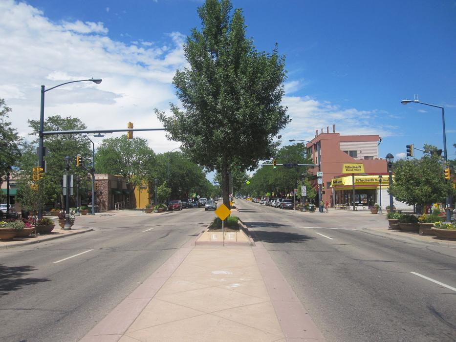
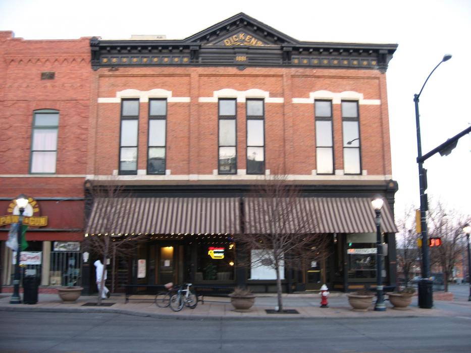
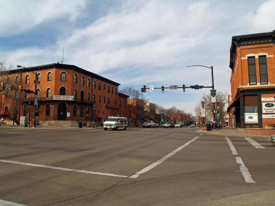
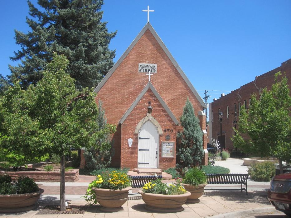


Map and nearest places
| Longitude | Latitude |
|---|---|
| 40.171666666666695 | -105.109166666667 |
| 40°10'0"N | 105°6'0"W |
| Nearest places | ||
|---|---|---|
| Vance Brand Airport | 4.7km | |
| Mead | 11.8km | |
| Frederick | 14.3km | |
| Erie | 14.4km | |
| Lyons | 14.8km | |
| Berthoud | 15.3km | |
| Boulder Municipal Airport | 17.7km | |
| Erie Municipal Airport | 18.7km | |
| Lafayette | 19.7km | |
| Rocky Mountain Metropolitan Airport | 29.2km | |
| Fort Collins-Loveland Municipal Airport | 32.2km | |
| Greeley-Weld County Airport | 50.0km | |
| John Paul II International Airport | 8,632.2km | |
| Sir Gaëtan Duval Airport | 17,493.4km | |
Accomodation
Restaurants
Airports
Weblinks
Comments
On 01-03-2020 16:36 Jerzy said:
There are 30.16 miles from Longmont to Denver in southeast direction and 38 miles (61.16 kilometers) by car, following the I-25 S route.Longmont and Denver are 41 minutes far apart, if you drive non-stop.
You need to log in to add comment
There are 30.16 miles from Longmont to Denver in southeast direction and 38 miles (61.16 kilometers) by car, following the I-25 S route.Longmont and Denver are 41 minutes far apart, if you drive non-stop.
You need to log in to add comment