


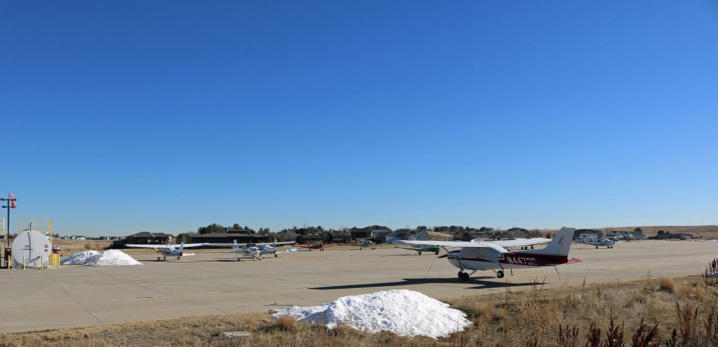
Gallery


Map and nearest places
| Longitude | Latitude |
|---|---|
| 40.010277777777794 | -105.048055555556 |
| 40°0'0"N | 105°2'0"W |
| Nearest places | ||
|---|---|---|
| Erie | 4.5km | |
| Lafayette | 4.8km | |
| Broomfield | 8.8km | |
| Louisville | 9.0km | |
| Rocky Mountain Metropolitan Airport | 12.7km | |
| Frederick | 13.4km | |
| Boulder Municipal Airport | 15.5km | |
| Longmont | 18.7km | |
| Vance Brand Airport | 19.7km | |
| Denver International Airport | 36.0km | |
| Fort Collins-Loveland Municipal Airport | 49.2km | |
| Front Range Airport | 49.8km | |
| John Paul II International Airport | 8,644.5km | |
| Sir Gaëtan Duval Airport | 17,506.5km | |
General informations
| Airport type | Local airport |
| ICAO | KEIK |
| FAA | EIK |
| Elevation | 5,130 ft / 1,564 m MSL |
| Year | Pax |
|---|---|
| 2005 | 0 |
Weblinks
Comments
You need to log in to add comment