


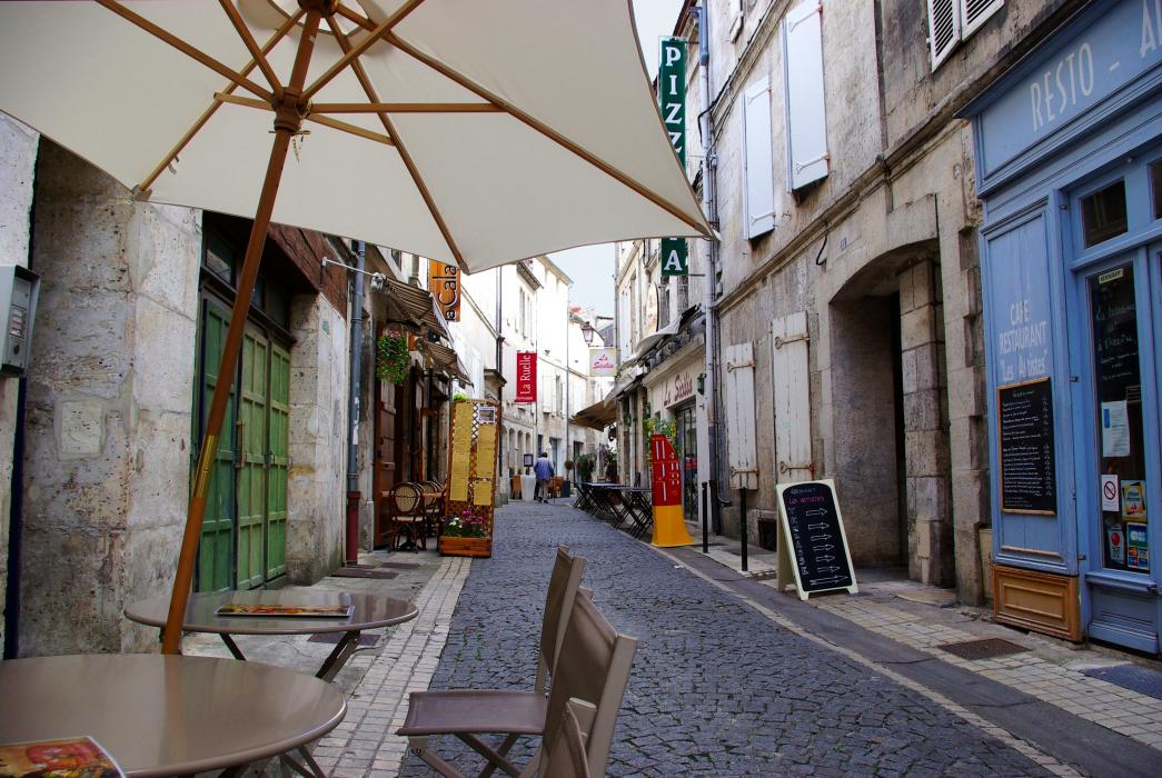
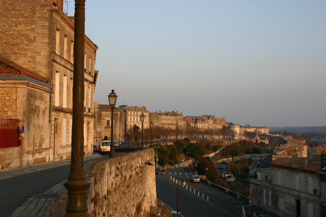
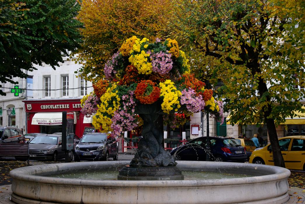
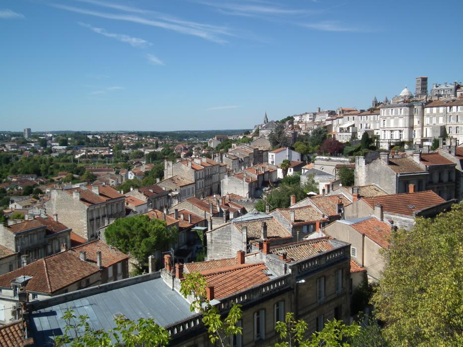
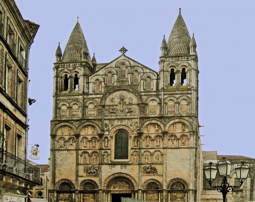
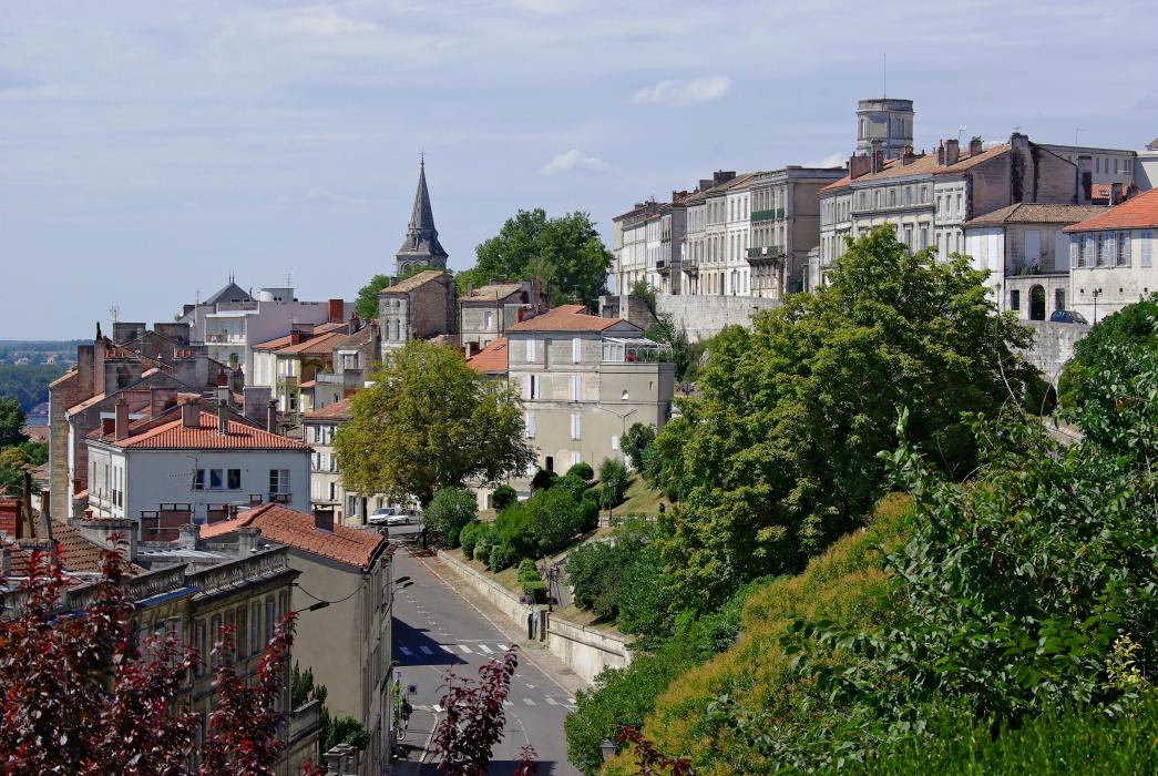
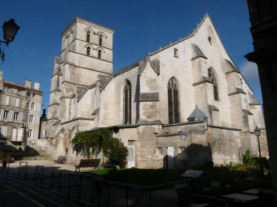
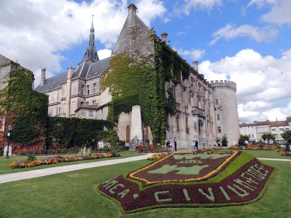
Gallery


Map and nearest places
| Longitude | Latitude |
|---|---|
| 45.648888888888905 | 0.160833333333333 |
| 45°38'0"N | 0°9'0"E |
| Nearest places | ||
|---|---|---|
| Angouleme - Brie - Champniers Airport | 10.0km | |
2.svg_491169162_16.png) | Jarnac | 26.4km |
 | Montmoreau-Saint-Cybard | 27.8km |
 | Barbezieux-Saint-Hilaire | 31.3km |
 | Cognac | 38.4km |
 | Aubeterre-sur-Dronne | 41.9km |
 | Chalais | 42.7km |
| Airport Perigueux-Bassillac | 71.6km | |
| Limoges - Bellegarde Airport | 82.5km | |
| Medis Airport | 88.4km | |
| St Agnant Airport | 92.6km | |
| Bergerac-Roumaniere Airport | 95.8km | |
| John Paul II International Airport | 1,539.2km | |
| Tuuta Airport | 19,678.7km | |
Accomodation
Restaurants
Airports
Weblinks
Comments
You need to log in to add comment