


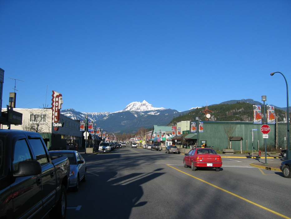
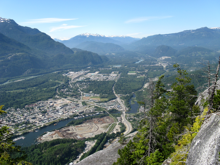


Map and nearest places
| Longitude | Latitude |
|---|---|
| 49.701666666666696 | -123.158888888889 |
| 49°42'0"N | 123°9'0"W |
| Nearest places | ||
|---|---|---|
| Squamish Airport | 8.9km | |
| Lopez Island Airport | 29.0km | |
| Bowen Island | 38.9km | |
| Gibsons | 41.5km | |
| Sechelt-Gibsons Airport | 48.4km | |
| Whistler | 48.9km | |
| Vancouver | 49.1km | |
 | Burnaby | 49.4km |
| Schelet | 49.8km | |
| Vancouver International Airport | 56.4km | |
| Pitt Meadows Airport | 62.9km | |
| Boundary Bay Airport | 70.7km | |
| John Paul II International Airport | 8,373.5km | |
| Tolagnaro Airport | 17,142.7km | |
Accomodation
Restaurants
Breweries
Airports
Weblinks
Comments
You need to log in to add comment