


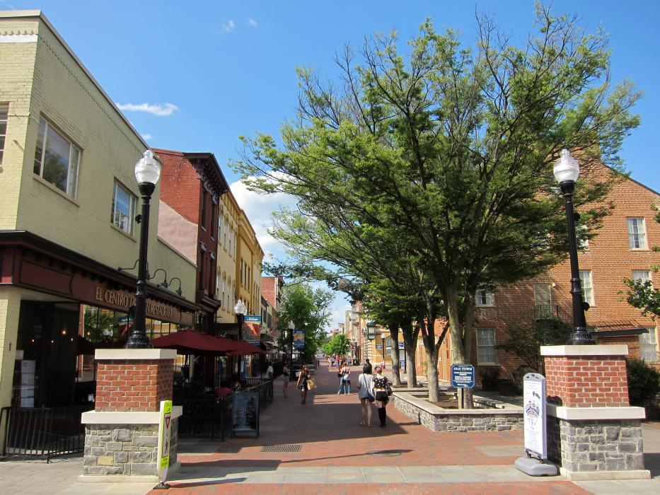
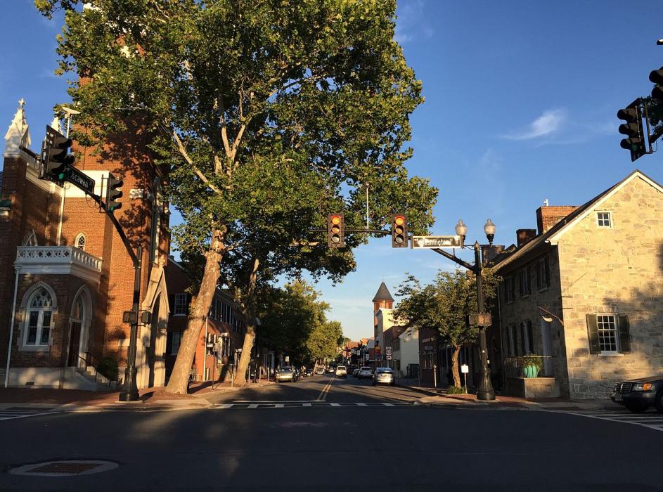
Gallery


Map and nearest places
| Longitude | Latitude |
|---|---|
| 39.183333 | -78.166667 |
| 39°10'0"N | 78°10'0"W |
| Nearest places | ||
|---|---|---|
| Winchester Regional Airport | 4.8km | |
| Stephens City | 12.0km | |
| Berryville | 16.3km | |
| Eastern WV Regional Airport | 28.9km | |
| Charles Town | 29.0km | |
| Front Royal-Warren County Airport | 30.5km | |
| Linden | 31.6km | |
 | Front Royal | 32.4km |
| Martinsburg | 35.1km | |
| Leesburg Executive Airport | 53.8km | |
| Washington Dulles International Airport | 66.9km | |
| Hagerstown Regional Airport | 69.4km | |
| John Paul II International Airport | 7,276.0km | |
| Busselton Regional Airport | 18,658.9km | |
Golfs club
Wineries
Airports
Weblinks
Comments
On 04-21-2020 10:39 Jerzy said:
There are 245.71 mi between Winchester, VA and New York, NY and there are 285 mi (458.66 kilometers) by road.
You need to log in to add comment
There are 245.71 mi between Winchester, VA and New York, NY and there are 285 mi (458.66 kilometers) by road.
You need to log in to add comment