


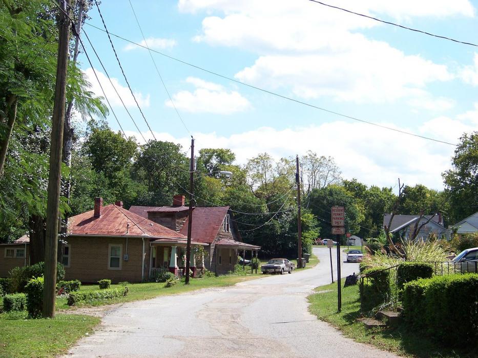
Gallery


Map and nearest places
| Longitude | Latitude |
|---|---|
| 37.297777777777796 | -78.3958333333333 |
| 37°17'0"N | 78°23'0"W |
| Nearest places | ||
|---|---|---|
| Farmville Regional Airport | 7.6km | |
 | Crewe | 27.2km |
| Crewe Municipal Airport | 29.4km | |
| Appomattox | 38.7km | |
| Blackstone | 41.8km | |
| Lunenburg County Airport | 41.9km | |
| Goldsboro-Wayne Municipal Airport | 42.2km | |
| Kenbridge | 44.2km | |
| Allen C Perkinson Airport/Blackstone AAF | 46.1km | |
| Chase City | 55.7km | |
| Scottsville | 56.8km | |
| Chase City Municipal Airport | 57.4km | |
| John Paul II International Airport | 7,440.7km | |
| Busselton Regional Airport | 18,705.2km | |
Airports
Weblinks
Comments
You need to log in to add comment