


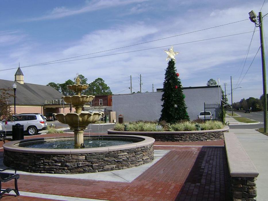
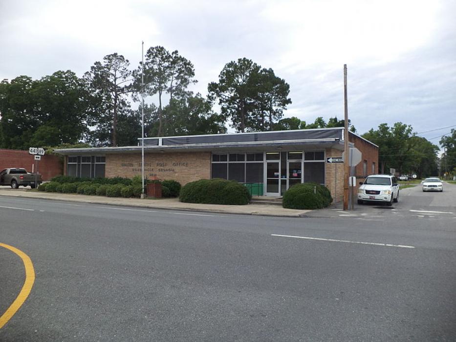
Gallery


Map and nearest places
| Longitude | Latitude |
|---|---|
| 31.0369444444444 | -82.7513888888889 |
| 31°2'0"N | 82°45'0"W |
| Nearest places | ||
|---|---|---|
| Homerville Airport | 3.0km | |
| Waycross-Ware County Airport | 41.3km | |
| Waycross | 42.6km | |
| Douglas Municipal Airport | 50.0km | |
| Douglas | 53.2km | |
 | Valdosta | 54.9km |
| Valdosta Regional Airport | 57.5km | |
| Henry Tift Myers Airport | 82.5km | |
| Tifton | 86.3km | |
| Fitzgerald Municipal Airport | 87.2km | |
| Fitzgerald | 89.4km | |
| Hazlehurst | 93.3km | |
| John Paul II International Airport | 8,225.6km | |
| Kalbarri Airport | 18,327.0km | |
Airports
Weblinks
Comments
You need to log in to add comment