


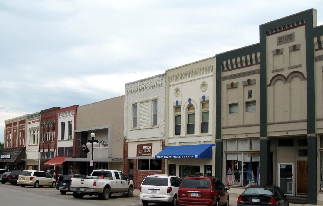
Gallery


Map and nearest places
| Longitude | Latitude |
|---|---|
| 41.654722 | -95.321944 |
| 41°39'0"N | 95°19'0"W |
| Nearest places | ||
|---|---|---|
| Harlan Municipal Airport | 8.0km | |
| Denison Municipal Airport | 37.2km | |
| Atlantic | 38.3km | |
| Denison | 40.4km | |
| Council Bluffs Municipal Airport | 57.0km | |
| Carroll | 59.6km | |
| Eppley Airfield | 61.7km | |
| Arthur N Neu Airport | 62.0km | |
| Council Bluffs | 63.4km | |
| Guthrie | 68.3km | |
| Blair | 68.6km | |
| Blair Municipal Airport | 70.7km | |
| John Paul II International Airport | 8,024.4km | |
| Busselton Regional Airport | 17,187.8km | |
Restaurants
Museums
Golfs club
Spirits Distillery
Airports
Weblinks
Comments
On 05-24-2020 10:25 Jerzy said:
There are 1,107.71 miles from Harlan to New York in east direction and 1,217 miles (1,958.57 kilometers) by car, following the I-80 route.
On 05-24-2020 10:22 Jerzy said:
Lonely Oak Distillery in Earling.There are 9.77 miles from Harlan to Earling in northwest direction and 13 miles (20.92 kilometers) by car, following the US-59 route.
You need to log in to add comment