


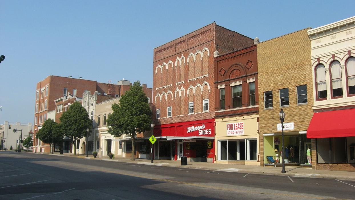
Gallery


Map and nearest places
| Longitude | Latitude |
|---|---|
| 37.8355555555556 | -87.58083333333329 |
| 37°50'0"N | 87°34'0"W |
| Nearest places | ||
|---|---|---|
| Henderson City-County Airport | 9.7km | |
 | Evansville | 16.0km |
| Evansville Regional Airport | 22.8km | |
| Morganfield | 33.6km | |
| Owensboro-Daviess County Regional Airport | 37.9km | |
| Owensboro | 41.5km | |
| Central City | 72.1km | |
| Ferdinand | 76.5km | |
| Muhlenberg County Airport | 77.4km | |
| Greenville | 78.4km | |
| Princeton-Caldwell County Airport | 83.7km | |
| Lawrenceville-Vincennes International Airport | 103.3km | |
| John Paul II International Airport | 7,938.0km | |
| Busselton Regional Airport | 17,897.3km | |
Accomodation
Restaurants
Golfs club
Wineries
Airports
Weblinks
Comments
You need to log in to add comment