


Gallery


Map and nearest places
| Longitude | Latitude |
|---|---|
| 38.0655555555556 | -97.8605555555555 |
| 38°3'0"N | 97°51'0"W |
| Nearest places | ||
|---|---|---|
| Hutchinson | 6.1km | |
| Mc Pherson Airport | 35.2km | |
| Mc Pherson | 38.2km | |
| Newton | 45.0km | |
| Newton City/County Airport | 51.3km | |
| Wichita Mid-Continent Airport | 59.6km | |
 | Wichita | 62.2km |
| Colonel James Jabara Airport | 66.3km | |
| Beech Factory Airport | 70.1km | |
| Ellinwood | 70.7km | |
| Augusta Municipal Airport | 81.5km | |
| Great Bend | 85.7km | |
| John Paul II International Airport | 8,473.8km | |
| Sir Gaëtan Duval Airport | 17,290.5km | |
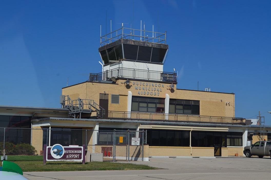
General informations
| Airport type | Regional airport |
| ICAO | KHUT |
| IATA | HUT |
| FAA | HUT |
| Elevation | 1,543 ft / 470 m MSL |
Weblinks
Comments
You need to log in to add comment