


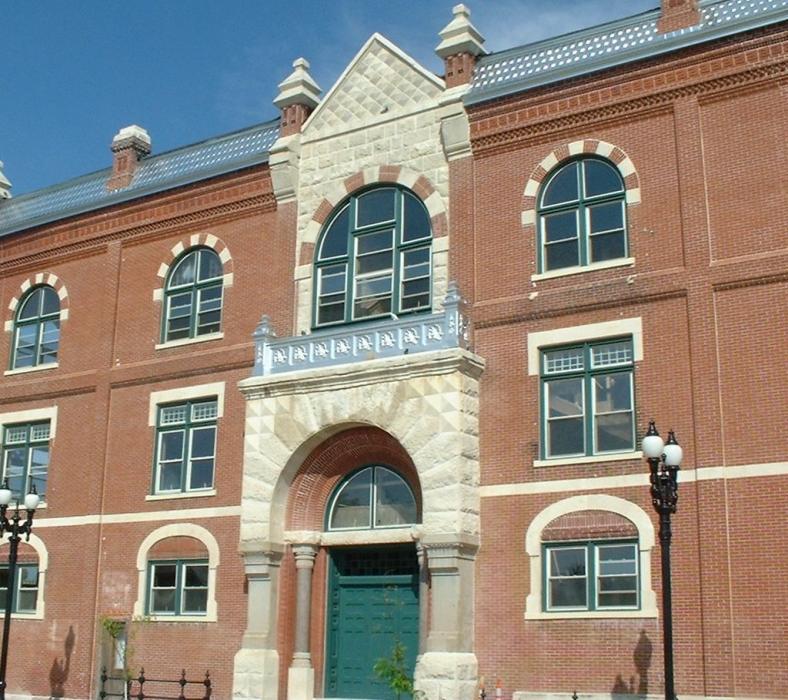
Gallery


Map and nearest places
| Longitude | Latitude |
|---|---|
| 38.371944 | -97.662222 |
| 38°22'0"N | 97°39'0"W |
| Nearest places | ||
|---|---|---|
| Mc Pherson Airport | 3.3km | |
| Hutchinson Municipal Airport | 38.2km | |
| Hutchinson | 41.7km | |
| Newton | 45.7km | |
| Salina Municipal Airport | 46.6km | |
| Newton City/County Airport | 48.6km | |
| Salina | 52.3km | |
| Abilene Municipal Airport | 69.8km | |
| Abilene | 72.1km | |
| Colonel James Jabara Airport | 79.5km | |
| Ellinwood | 80.1km | |
 | Wichita | 81.1km |
| John Paul II International Airport | 8,436.1km | |
| Sir Gaëtan Duval Airport | 17,254.6km | |
Accomodation
Restaurants
Golfs club
Breweries
Airports
Weblinks
Comments
You need to log in to add comment