


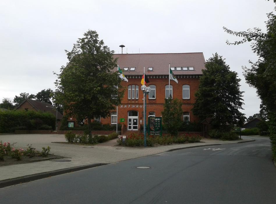
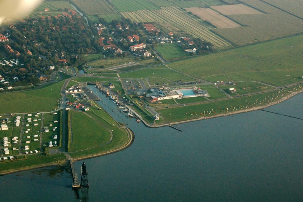


Map and nearest places
| Longitude | Latitude |
|---|---|
| 53.67444 | 8.51583 |
| 53°40'0"N | 8°30'0"E |
| Nearest places | ||
|---|---|---|
| Langen | 7.8km | |
 | Bremerhaven | 15.3km |
| Bremerhaven Airport | 19.0km | |
 | Bad Bederkesa | 22.2km |
 | Cuxhaven | 23.8km |
 | Otterndorf | 28.9km |
 | Varel | 39.8km |
| Wangerooge Airport | 41.4km | |
| Harle Airport | 45.9km | |
| Westerwede Airport | 57.7km | |
| Heide-Busum Airport | 59.2km | |
| Langeoog Airport | 67.4km | |
| John Paul II International Airport | 869.5km | |
| Tuuta Airport | 18,859.9km | |
Accomodation
Restaurants
Weblinks
Comments
You need to log in to add comment