


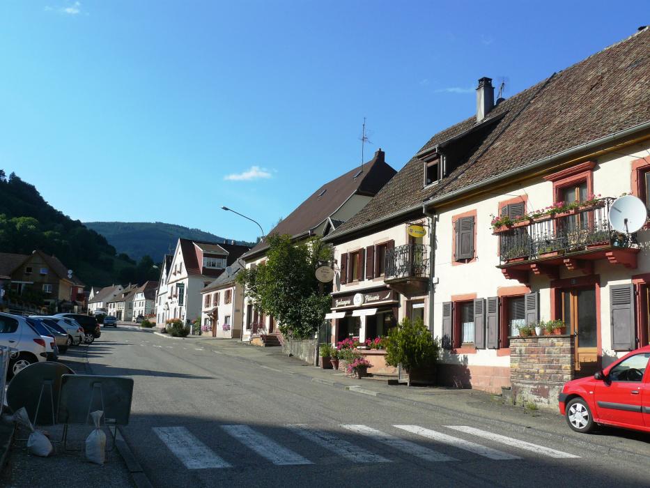
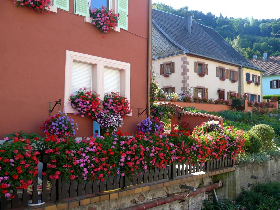
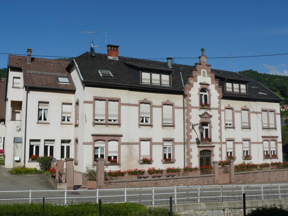
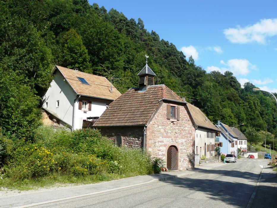
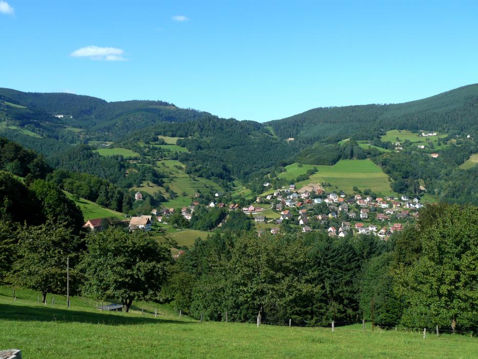
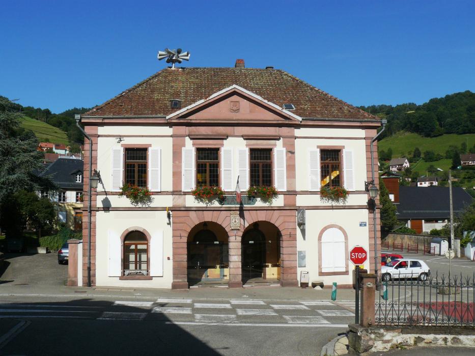
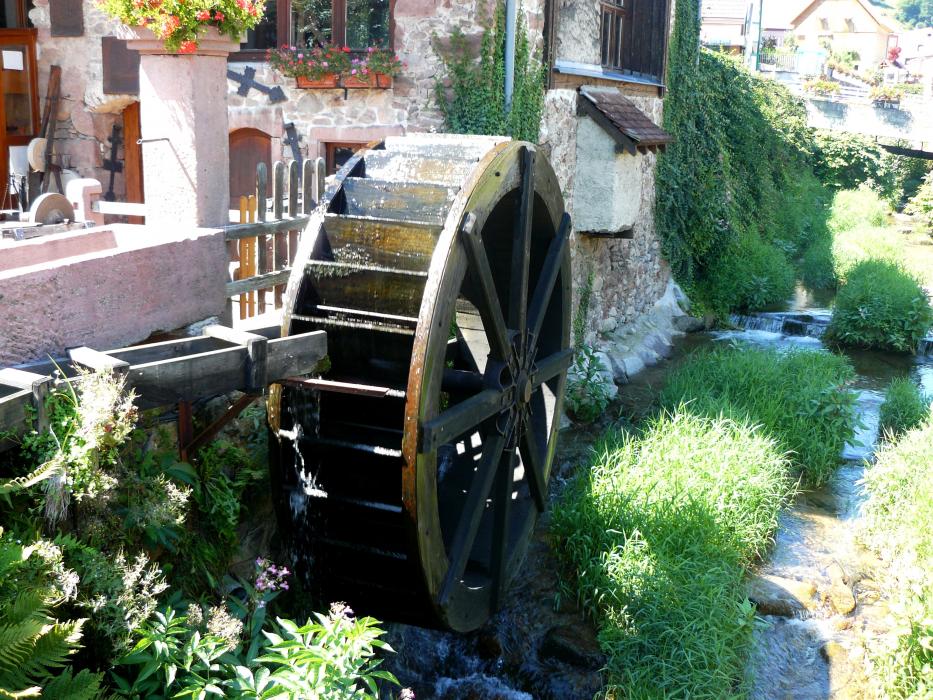
Gallery


Map and nearest places
| Longitude | Latitude |
|---|---|
| 48.1719 | 7.1947 |
| 48°10'0"N | 7°11'0"E |
| Nearest places | ||
|---|---|---|
 | Orbey | 5.5km |
 | Kaysersberg | 6.1km |
 | Riquewihr | 7.7km |
 | Ammerschwihr | 8.3km |
 | Sainte-Marie-aux-Mines | 8.4km |
 | Hunawihr | 8.8km |
| Colmar Airport | 14.0km | |
| Epinal - Mirecourt Airport | 42.6km | |
| Lahr - Black Forest Airport | 51.7km | |
| Strasbourg Airport | 52.7km | |
| Belfort Airport | 59.0km | |
| Offenburg Airport | 62.2km | |
| John Paul II International Airport | 939.1km | |
| Tuuta Airport | 19,454.1km | |
Accomodation
Weblinks
Comments
You need to log in to add comment