


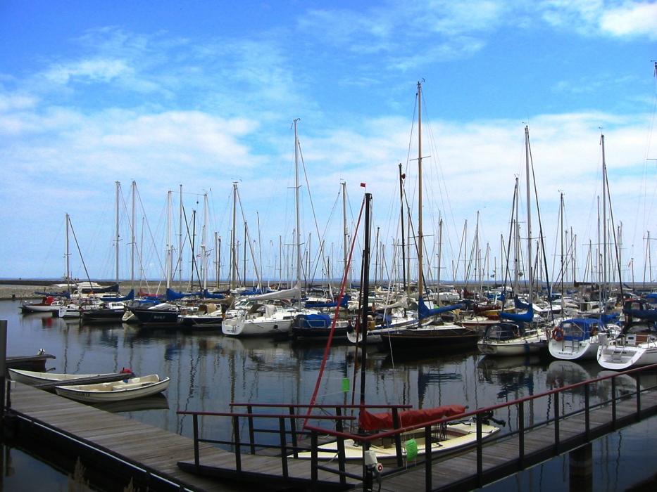

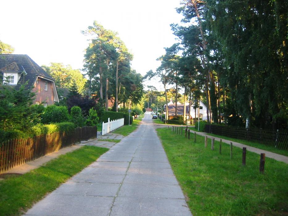
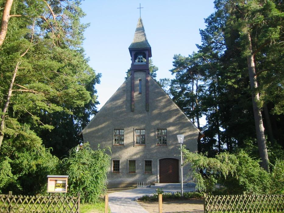
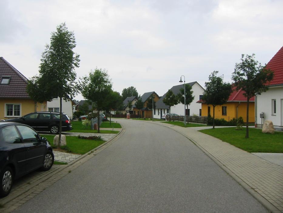


Map and nearest places
| Longitude | Latitude |
|---|---|
| 54.133333 | 13.616667 |
| 54°7'0"N | 13°37'0"E |
| Nearest places | ||
|---|---|---|
 | Peenemünde | 9.8km |
 | Karlshagen | 13.2km |
| Thiessow | 16.2km | |
 | Greifswald | 16.2km |
| Trassenheide | 16.7km | |
 | Zinnowitz | 20.3km |
| Anklam Airport | 33.6km | |
| Stralsund Airport | 43.5km | |
| Heringsdorf Airport | 45.0km | |
| Neubrandenburg Airport | 62.2km | |
| Stralsund - Barth Airport | 63.8km | |
| Rostock-Laage Airport | 90.6km | |
| John Paul II International Airport | 616.7km | |
| Tuuta Airport | 18,654.8km | |
Accomodation
Weblinks
Comments
You need to log in to add comment