


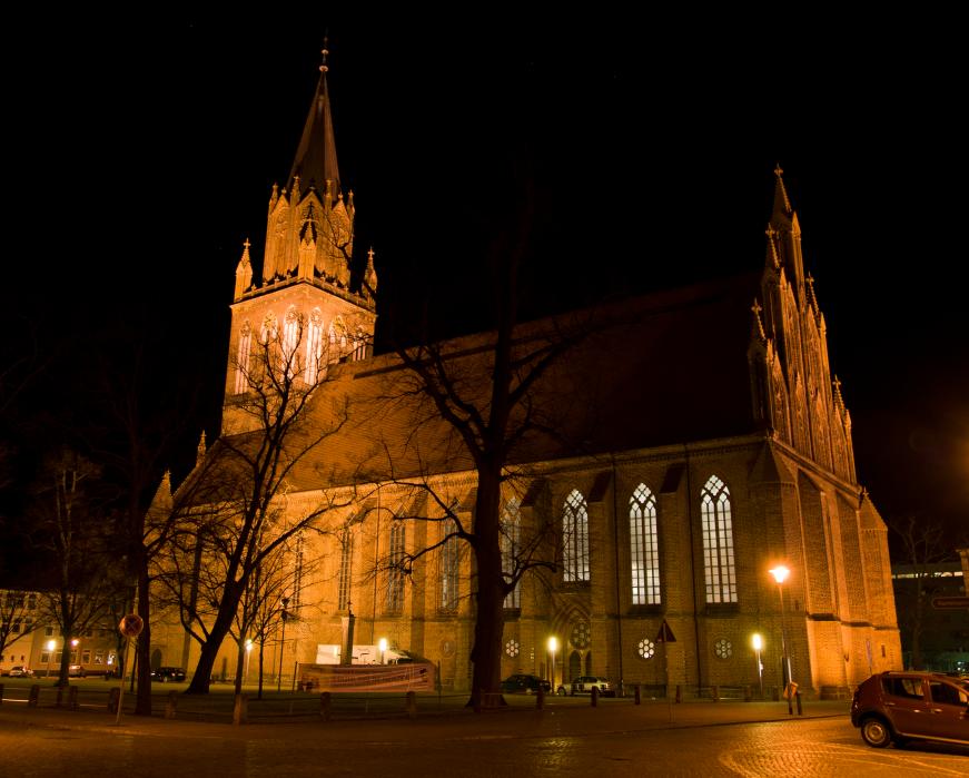
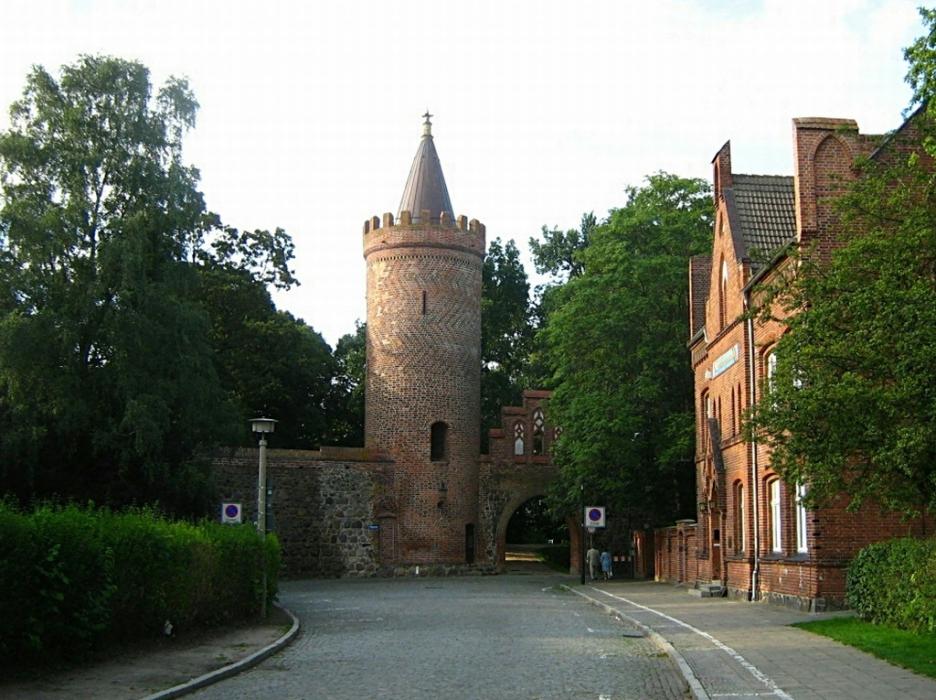
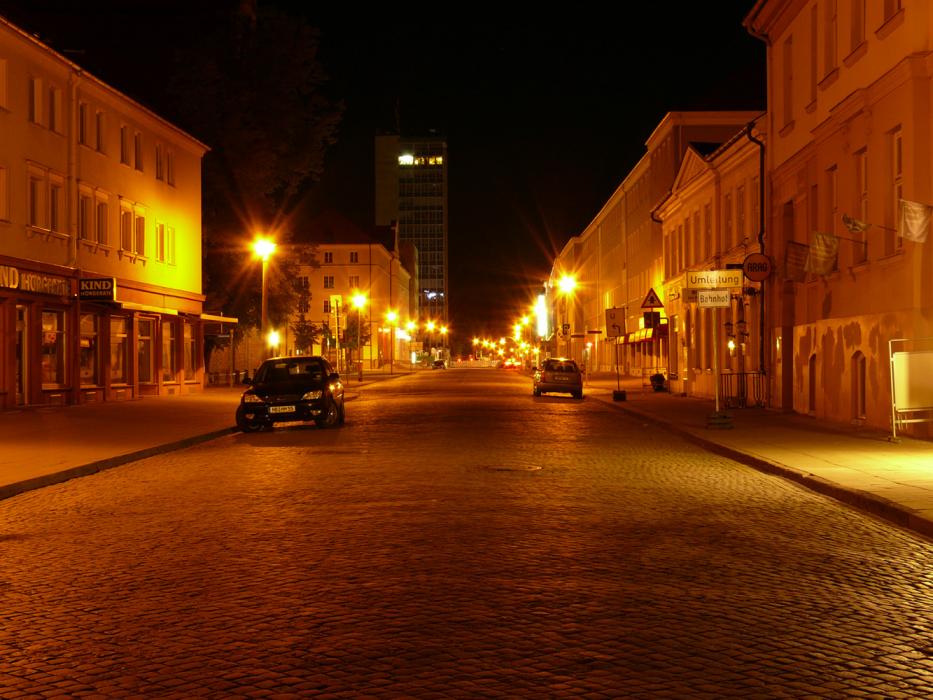
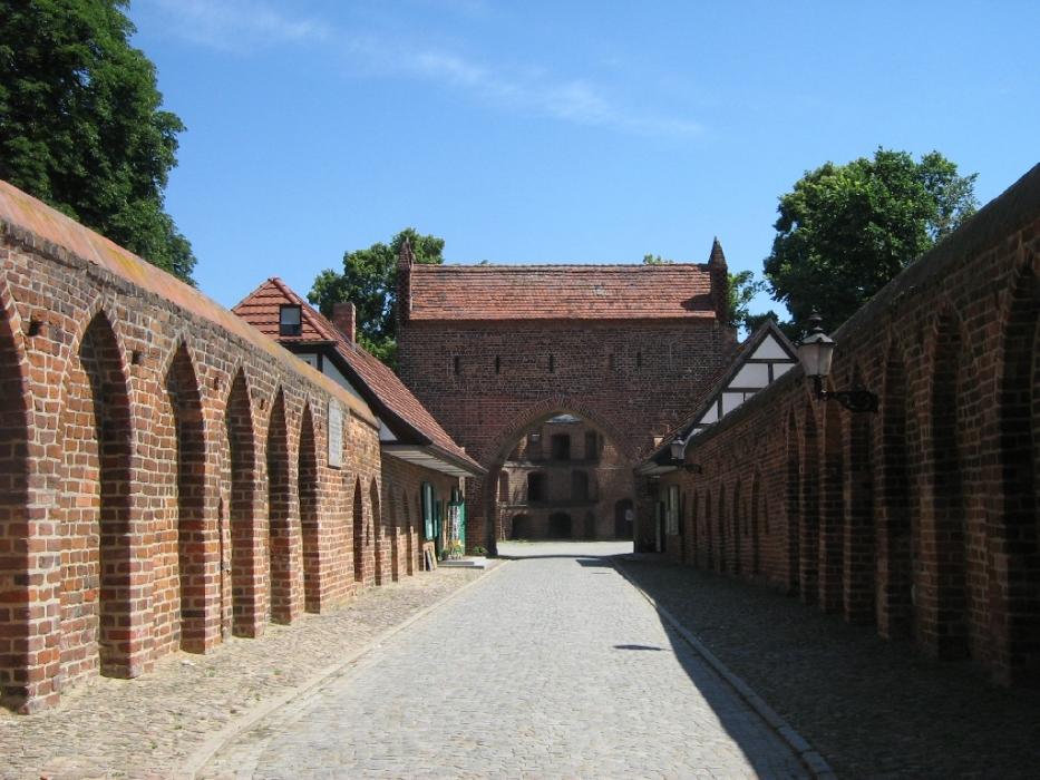
Gallery


Map and nearest places
| Longitude | Latitude |
|---|---|
| 53.556944444444404 | 13.2611111111111 |
| 53°33'0"N | 13°15'0"E |
| Nearest places | ||
|---|---|---|
| Neubrandenburg Airport | 6.1km | |
 | Burg Stargard | 8.6km |
 | Altentreptow | 12.2km |
 | Neustrelitz | 24.8km |
 | Stavenhagen | 28.6km |
 | Malchin | 37.1km |
 | Waren | 38.4km |
| Anklam Airport | 40.7km | |
| Heringsdorf Airport | 68.7km | |
| Rostock-Laage Airport | 76.1km | |
| Stralsund Airport | 88.0km | |
| Stralsund - Barth Airport | 94.2km | |
| John Paul II International Airport | 591.8km | |
| Tuuta Airport | 18,720.1km | |
General informations
| Area | 85.65 km2 |
Accomodation

Restaurants
Museums
Airports
Weblinks
Comments
You need to log in to add comment