


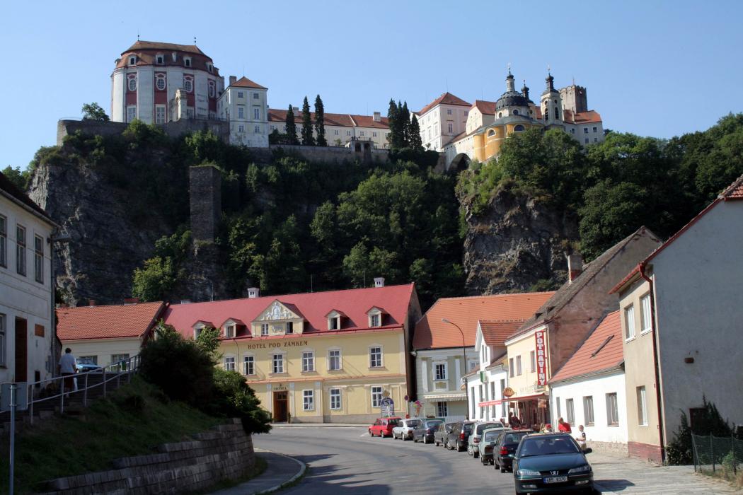

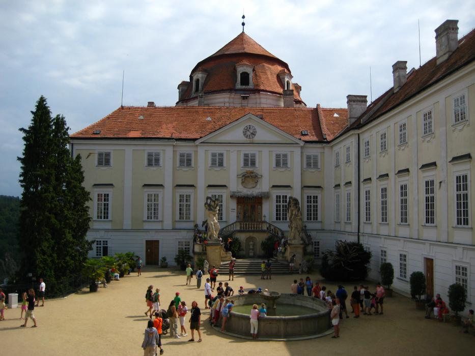
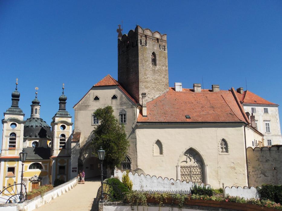
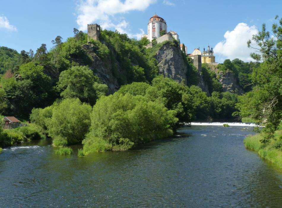


Map and nearest places
| Longitude | Latitude |
|---|---|
| 48.894722 | 15.8125 |
| 48°53'0"N | 15°48'0"E |
| Nearest places | ||
|---|---|---|
 | Hardegg | 6.4km |
 | Znojno | 15.6km |
 | Moravské Budějovice | 17.6km |
 | Schrattenthal | 20.8km |
 | Raabs an der Thaya | 23.9km |
 | Eggenburg | 27.2km |
| Dobersberg Airport | 37.8km | |
| Krems Airport | 51.5km | |
| Brno-Turany Airport | 70.4km | |
| Vienna Schwechat International Airport | 103.5km | |
| Bad Voeslau | 108.5km | |
| Kunovice Airport | 119.7km | |
| John Paul II International Airport | 315.6km | |
| Tuuta Airport | 18,918.6km | |
Accomodation

Restaurants
Weblinks
Comments
You need to log in to add comment