


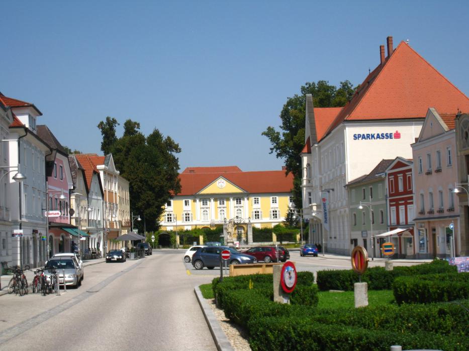


Map and nearest places
| Longitude | Latitude |
|---|---|
| 48.316667 | 14.033333 |
| 48°19'0"N | 14°1'0"E |
| Nearest places | ||
|---|---|---|
 | Bad Schallerbach | 14.1km |
| Blue Danube Airport | 14.7km | |
| Wels Airport | 14.8km | |
| Leonding | 17.0km | |
 | Grieskirchen | 17.5km |
 | Wels | 17.8km |
 | Linz | 19.1km |
 | Enns | 34.5km |
| W. A. Mozart Airport | 96.1km | |
| Dobersberg Airport | 114.7km | |
| Krems Airport | 119.2km | |
| Zell am See Airport | 146.9km | |
| John Paul II International Airport | 461.3km | |
| Tuuta Airport | 19,064.4km | |
Comments
You need to log in to add comment