


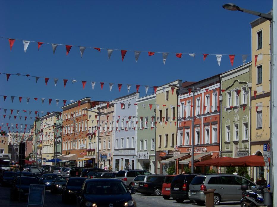
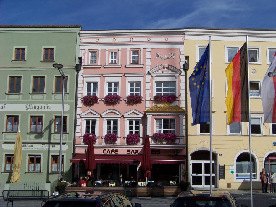
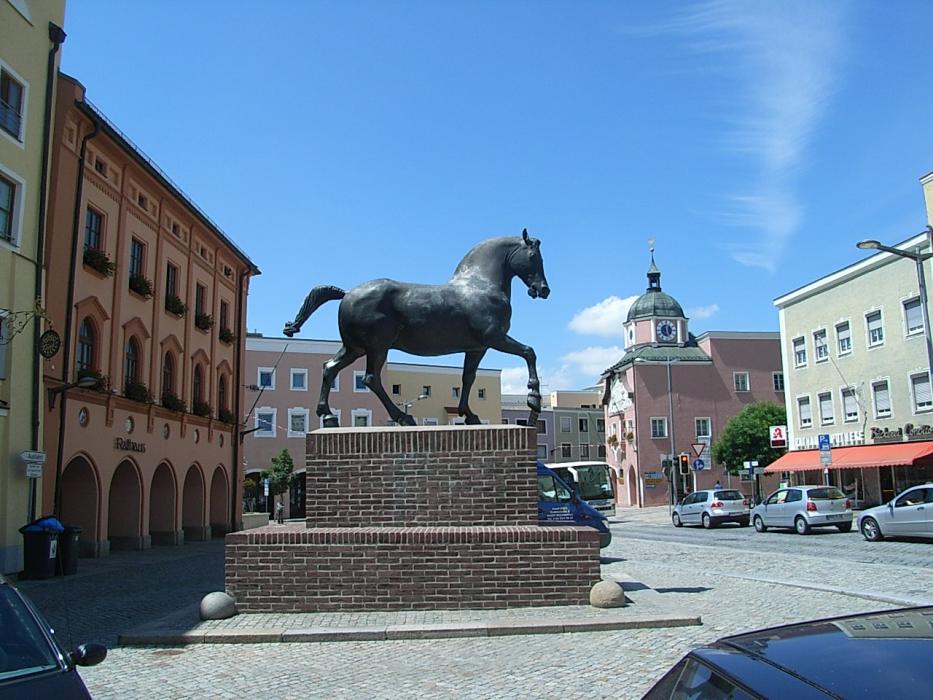


Map and nearest places
| Longitude | Latitude |
|---|---|
| 48.416667 | 12.916667 |
| 48°25'0"N | 12°55'0"E |
| Nearest places | ||
|---|---|---|
 | Eggenfelden | 11.3km |
 | Simbach | 18.2km |
 | Braunau am Inn | 19.6km |
 | Bad Griesbach im Rottal | 21.2km |
 | Reisbach | 26.7km |
 | Altotting | 27.5km |
| Landshut Airport | 65.9km | |
| W. A. Mozart Airport | 69.6km | |
| Franz Josef Straus International Airport | 83.7km | |
| Wels Airport | 87.1km | |
| Blue Danube Airport | 96.1km | |
| Ingolstadt Airport | 107.0km | |
| John Paul II International Airport | 531.4km | |
| Tuuta Airport | 19,130.4km | |
Comments
You need to log in to add comment