


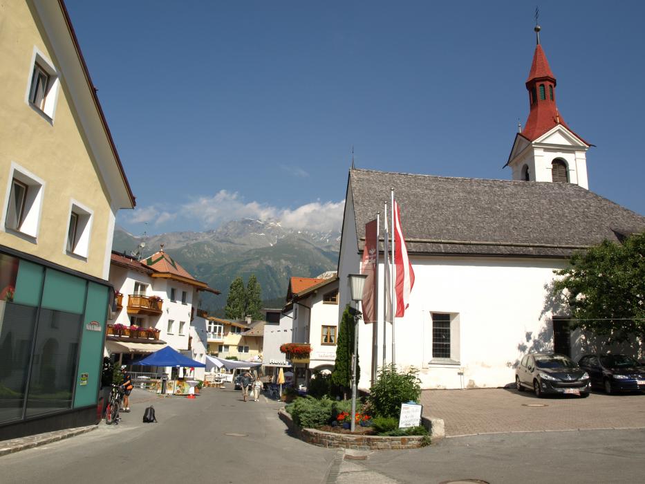
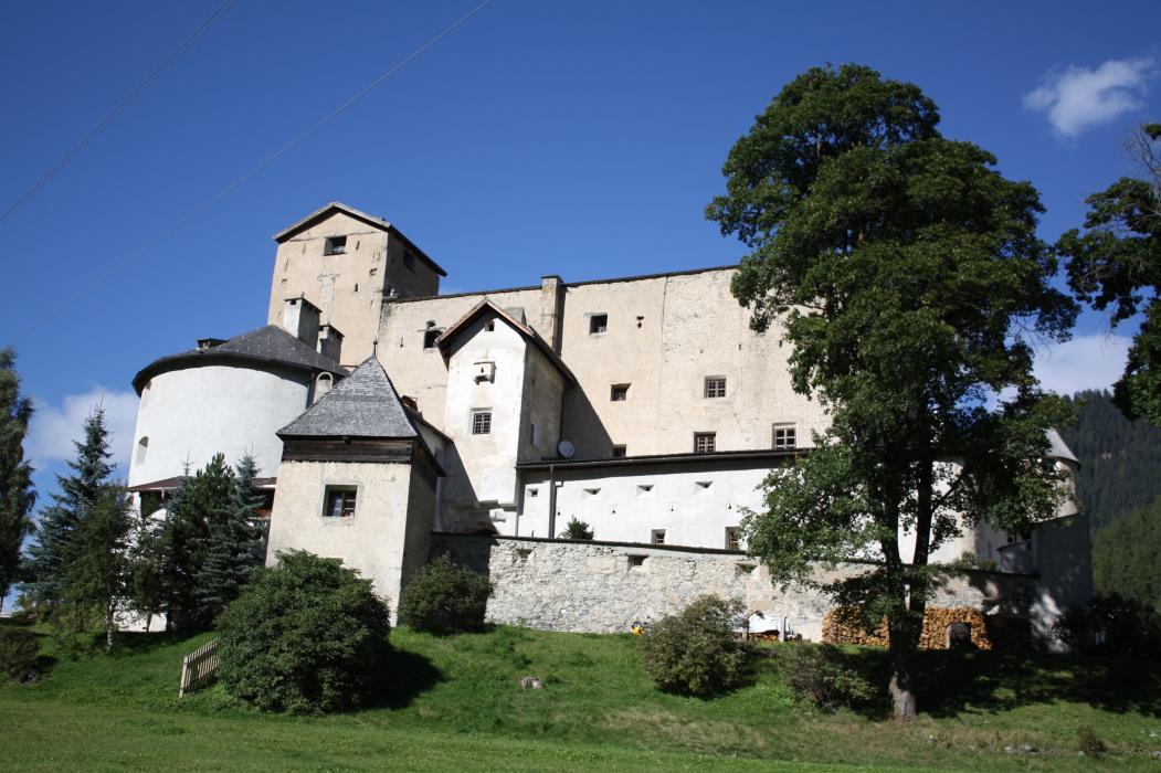
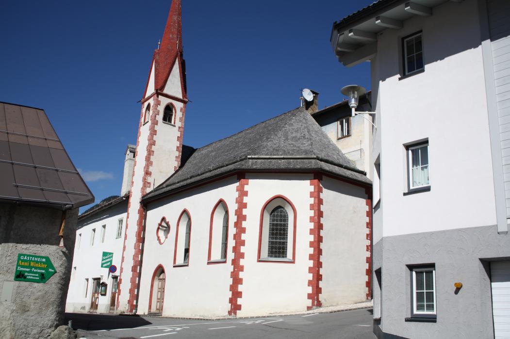


Map and nearest places
| Longitude | Latitude |
|---|---|
| 46.8925 | 10.503889 |
| 46°53'0"N | 10°30'0"E |
| Nearest places | ||
|---|---|---|
 | Pfunds | 9.0km |
 | Samnaun | 12.4km |
 | Sent | 15.5km |
 | Serfaus | 18.0km |
 | Scoul | 19.7km |
 | Fiss | 20.1km |
| St Moritz - Samedan Airport | 61.8km | |
| Reutte Airport | 66.1km | |
| Innsbruck Kranebitten Airport | 75.6km | |
| Airport Bolzano Dolomiti | 79.0km | |
| Hohenems-Dornbirn Airport | 81.8km | |
| Altenrhein - St Gallen Airport | 97.1km | |
| John Paul II International Airport | 769.5km | |
| Tuuta Airport | 19,372.5km | |
Comments
You need to log in to add comment