


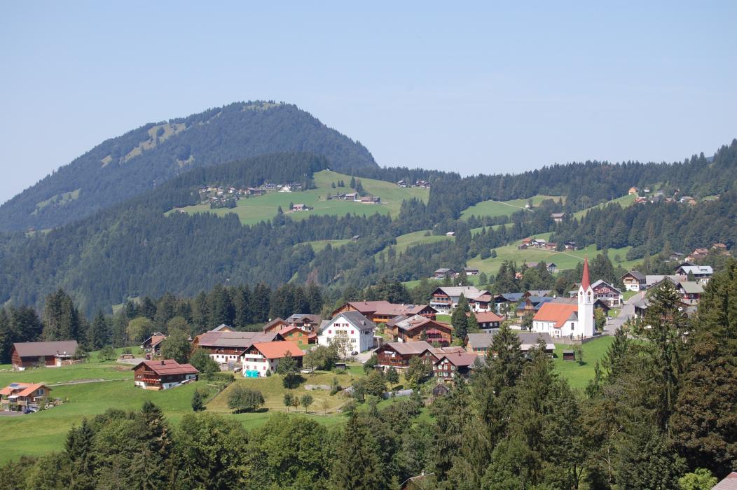
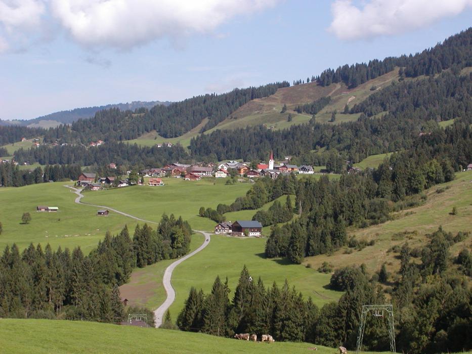
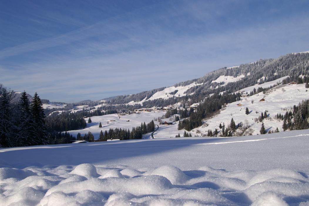
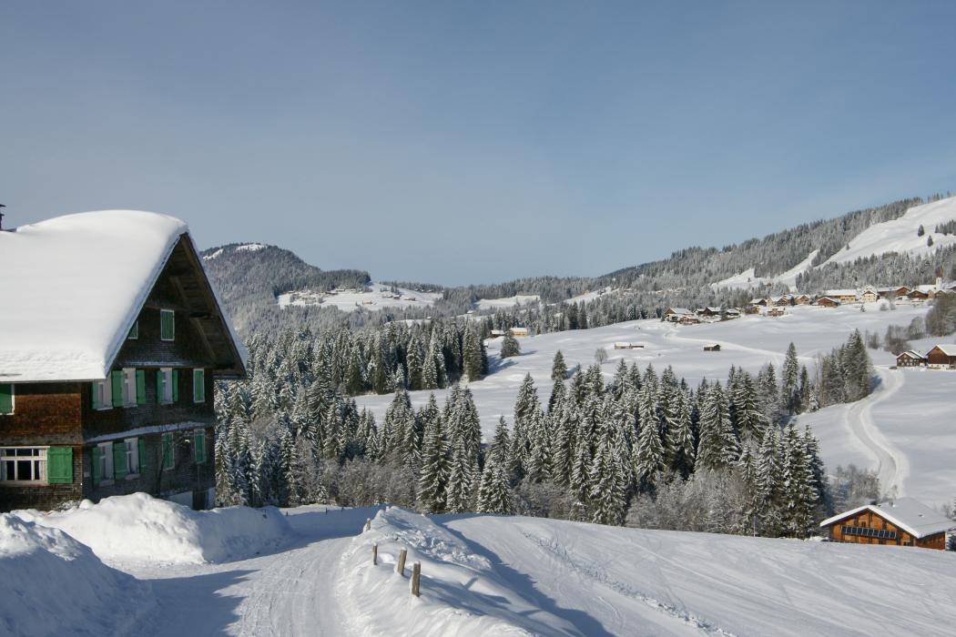


Map and nearest places
| Longitude | Latitude |
|---|---|
| 47.426667 | 10.038056 |
| 47°25'0"N | 10°2'0"E |
| Nearest places | ||
|---|---|---|
 | Balderschwang | 6.4km |
 | Hittisau | 7.2km |
 | Lingenau | 9.3km |
 | Egg | 10.7km |
 | Andelsbuch | 10.8km |
 | Schoppernau | 12.7km |
| Hohenems-Dornbirn Airport | 25.9km | |
| Altenrhein - St Gallen Airport | 36.5km | |
| Friedrishafen Airport | 47.9km | |
| Reutte Airport | 49.8km | |
| Memmingen Airport | 64.3km | |
| Lommis Airport | 78.5km | |
| John Paul II International Airport | 772.2km | |
| Tuuta Airport | 19,369.8km | |
Accomodation

Weblinks
Comments
You need to log in to add comment