


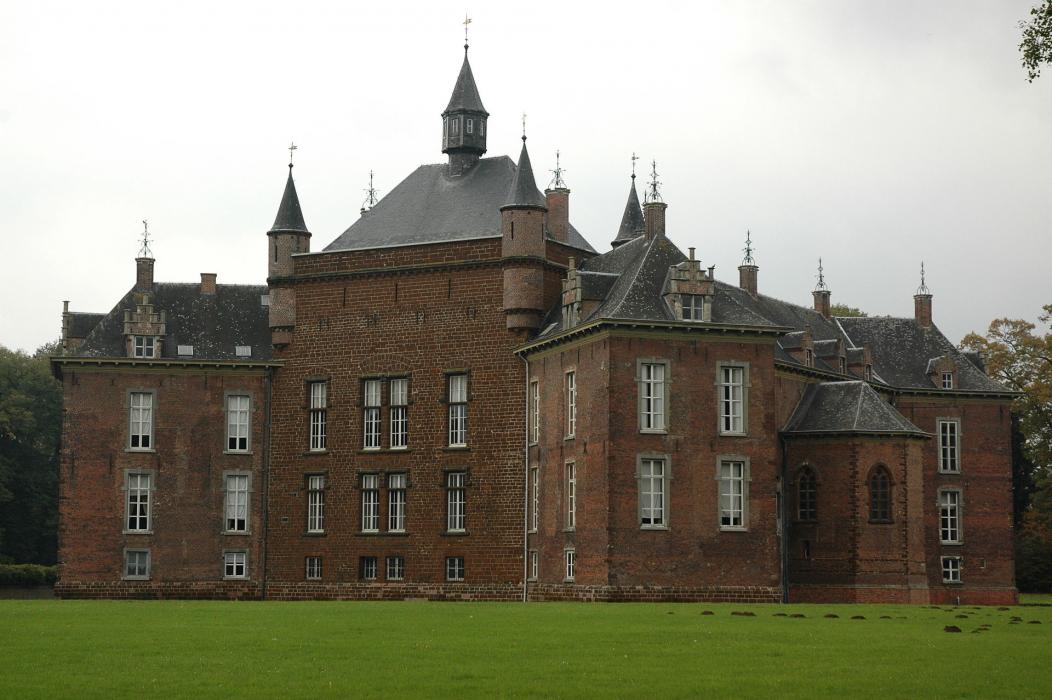
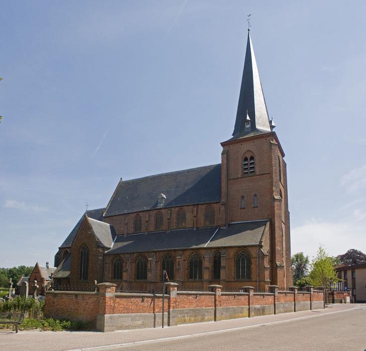


Map and nearest places
| Longitude | Latitude |
|---|---|
| 51.083333 | 4.916667 |
| 51°4'0"N | 4°55'0"E |
| Nearest places | ||
|---|---|---|
 | Geel | 10.2km |
 | Herentals | 12.5km |
 | Diest | 14.5km |
| Tielt-Winge | 18.6km | |
| Hilversum Airport | 20.1km | |
 | Beringen | 21.7km |
| Rijmenam | 24.8km | |
| Antwerp International Airport | 34.0km | |
| Brussels International Airport | 35.9km | |
| Eindhoven Airport | 50.7km | |
| Kempen Airport | 51.5km | |
| Liege Airport | 61.8km | |
| John Paul II International Airport | 1,053.9km | |
| Tuuta Airport | 19,199.8km | |
Accomodation

Weblinks
Comments
You need to log in to add comment