


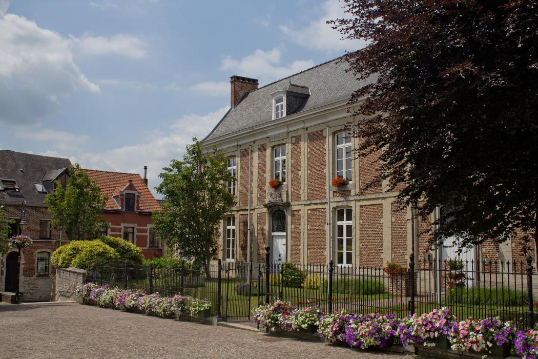
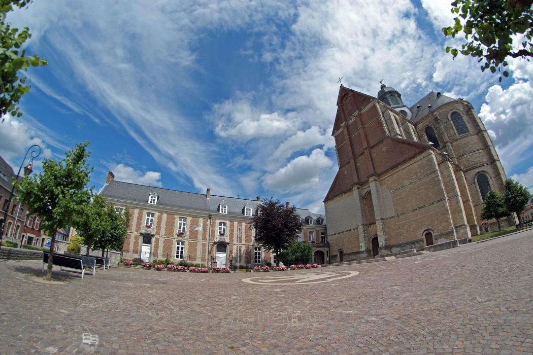
Gallery


Map and nearest places
| Longitude | Latitude |
|---|---|
| 50.933333 | 4.383333 |
| 50°55'0"N | 4°22'0"E |
| Nearest places | ||
|---|---|---|
 | Machelen | 4.0km |
| Brussels International Airport | 7.7km | |
| Brussels | 9.9km | |
 | Mechelen | 11.0km |
 | Dilbeek | 12.4km |
 | Boortmeerbeek | 14.0km |
 | Bonheiden | 15.3km |
| Antwerp International Airport | 29.0km | |
| Brussels South Charleroi Airport | 53.0km | |
| Hilversum Airport | 60.6km | |
| Liege Airport | 81.5km | |
| Flanders International Airport | 83.7km | |
| John Paul II International Airport | 1,091.3km | |
| Tuuta Airport | 19,220.5km | |
Accomodation

Restaurants
Weblinks
Comments
You need to log in to add comment