


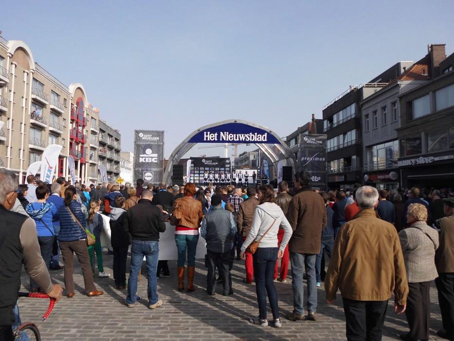
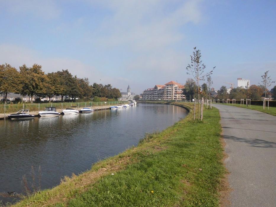
Gallery


Map and nearest places
| Longitude | Latitude |
|---|---|
| 50.983333 | 3.533333 |
| 50°58'0"N | 3°31'0"E |
| Nearest places | ||
|---|---|---|
 | Aalter | 12.6km |
 | Tielt | 15.3km |
 | Oudenaarde | 15.5km |
 | Ghent | 15.8km |
 | Melle | 18.8km |
 | Evergem | 18.9km |
| Flanders International Airport | 29.5km | |
| Ostend-Bruges International Airport | 52.6km | |
| Lille Lesquin International Airport | 56.3km | |
| Brussels International Airport | 67.3km | |
| Antwerp International Airport | 68.7km | |
| Aérodrome de Valenciennes - Denain | 73.4km | |
| John Paul II International Airport | 1,150.7km | |
| Tuuta Airport | 19,217.4km | |
Accomodation
Restaurants
Castles
Weblinks
Comments
You need to log in to add comment