


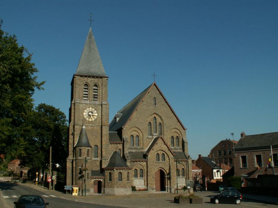
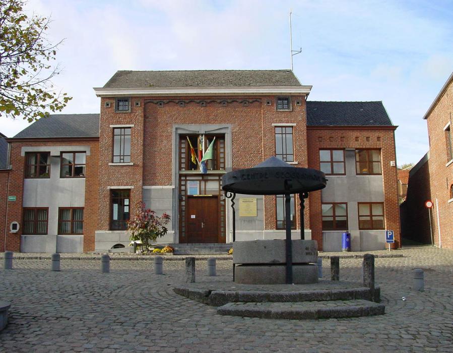
Gallery


Map and nearest places
| Longitude | Latitude |
|---|---|
| 50.65 | 4.266667 |
| 50°38'0"N | 4°16'0"E |
| Nearest places | ||
|---|---|---|
 | Nivelles | 7.1km |
 | Halle | 9.6km |
 | Braine-le-Comte | 10.9km |
 | Waterloo | 11.9km |
 | Beersel | 13.2km |
 | Lasne | 15.8km |
| Brussels South Charleroi Airport | 25.0km | |
| Brussels International Airport | 32.5km | |
| Antwerp International Airport | 61.5km | |
| Aérodrome de Valenciennes - Denain | 67.2km | |
| Flanders International Airport | 77.0km | |
| Liege Airport | 83.0km | |
| John Paul II International Airport | 1,100.5km | |
| Tuuta Airport | 19,252.6km | |
Accomodation
Restaurants
Weblinks
Comments
You need to log in to add comment