


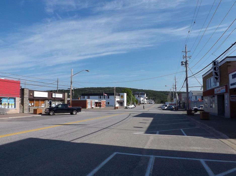
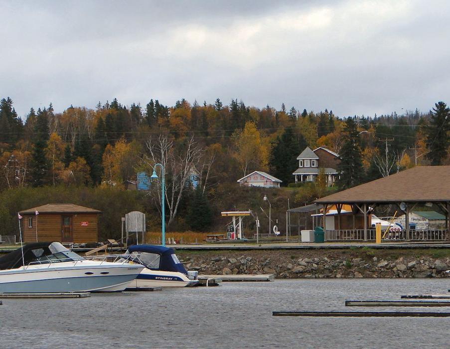
Gallery


Map and nearest places
| Longitude | Latitude |
|---|---|
| 47.993056 | -84.773611 |
| 47°59'0"N | 84°46'0"W |
| Nearest places | ||
|---|---|---|
| Wawa Airport | 3.1km | |
| Chapleau | 103.9km | |
| Chapleau Airport | 108.1km | |
| Hornepayne Municipal Airport | 133.4km | |
| Hornepayne | 136.1km | |
| Sault Ste Marie | 165.4km | |
| Sault Ste. Marie Airport | 168.9km | |
| Sault Ste Marie | 169.5km | |
| Chippewa County International Airport | 195.1km | |
| Trout Lake Township | 200.0km | |
| Hearst | 206.4km | |
| Elliot Lake Municipal Airport | 230.6km | |
| John Paul II International Airport | 6,948.5km | |
| Busselton Regional Airport | 17,703.0km | |
Accomodation
Restaurants
Airports
Weblinks
Comments
You need to log in to add comment