


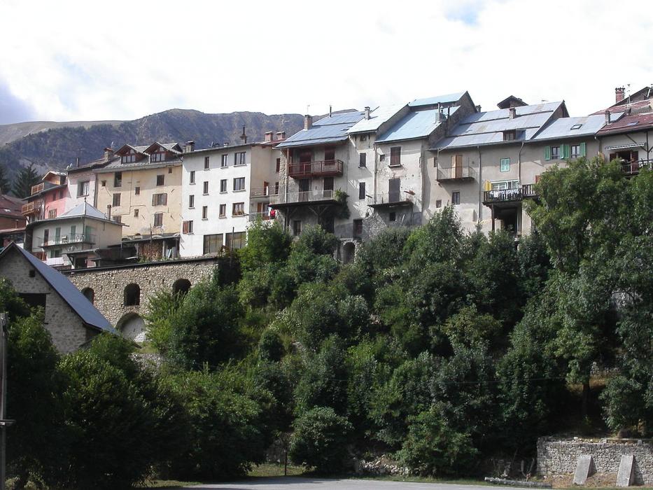
Gallery
_1580222108_700.jpg)


Map and nearest places
| Longitude | Latitude |
|---|---|
| 44.144444 | 6.592222 |
| 44°8'0"N | 6°35'0"E |
| Nearest places | ||
|---|---|---|
.svg_1315976180_16.png) | Allos | 11.1km |
 | Saint-André-les-Alpes | 20.6km |
 | Barcelonnette | 27.4km |
 | Entrevaux | 27.8km |
 | Digne-les-Bains | 29.0km |
| Seyne les Alpes | 29.7km | |
| Aérodrome Château-Arnoux - Saint-Auban | 48.9km | |
| Aéroport de Saint-Crepin | 62.0km | |
| Cannes – Mandelieu Airport | 72.6km | |
| Cote d'Azur Airport | 73.0km | |
| Heliport De Monaco | 79.9km | |
| Cuneo Levaldigi Airport | 93.4km | |
| John Paul II International Airport | 1,194.0km | |
| Tuuta Airport | 19,768.3km | |
Accomodation
Restaurants
Weblinks
Comments
You need to log in to add comment