


Gallery


Map and nearest places
| Longitude | Latitude |
|---|---|
| 36.265 | -91.5627777777778 |
| 36°15'0"N | 91°33'0"W |
| Nearest places | ||
|---|---|---|
| Ash Flat | 5.6km | |
| Batesville | 55.1km | |
| Batesville Regional Airport | 60.4km | |
| Mountain Home | 73.9km | |
| Mountain View Airport | 81.9km | |
| Ozark Regional Airport | 82.1km | |
| Mountain View | 82.2km | |
| Corning | 88.7km | |
 | Jonesboro | 92.0km |
| Heber Springs Municipal Airport | 93.1km | |
| Jonesboro Municipal Airport | 95.4km | |
| Kirk Field Airport | 97.2km | |
| John Paul II International Airport | 8,296.9km | |
| Busselton Regional Airport | 17,550.4km | |
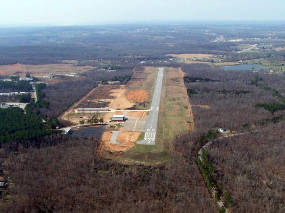
General informations
| Airport type | Local airport |
| ICAO | KCVK |
| FAA | CVK |
| Elevation | 716 ft / 218 m MSL |
Weblinks
Comments
You need to log in to add comment