


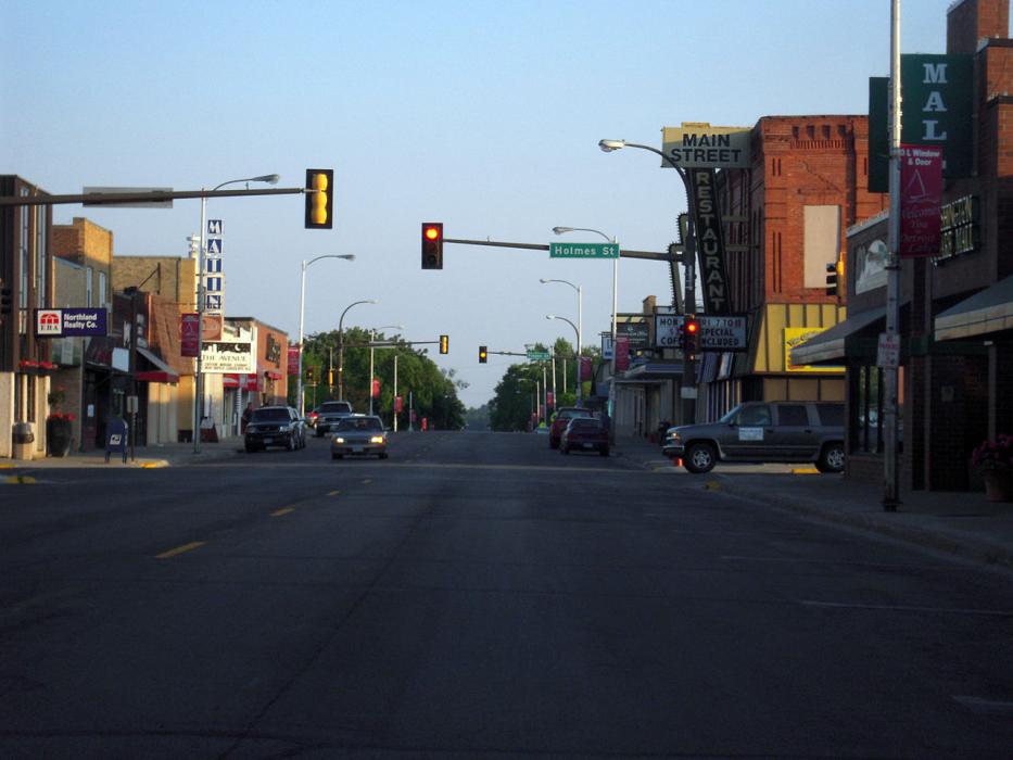
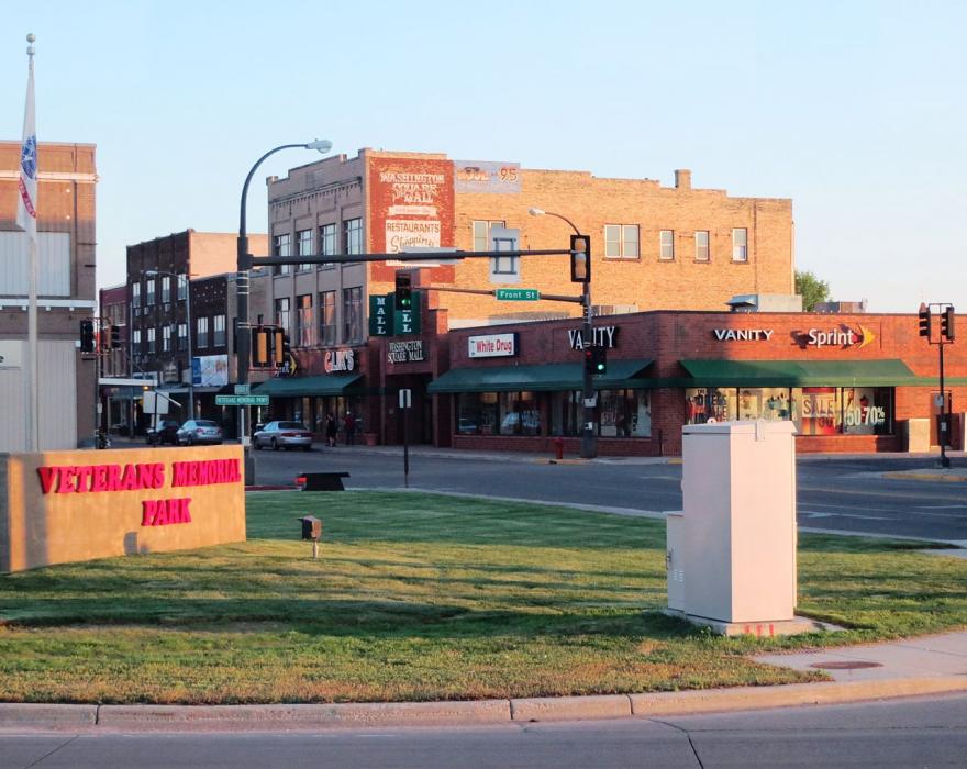
Gallery


Map and nearest places
| Longitude | Latitude |
|---|---|
| 46.817222 | -95.845278 |
| 46°49'0"N | 95°50'0"W |
| Nearest places | ||
|---|---|---|
| Fosston Municipal Airport | 25.5km | |
| Fergus Falls | 62.0km | |
| Wadena Municipal Airport | 63.3km | |
| Fergus Falls Municipal-Einar Mickelson Field | 63.8km | |
| Wadena | 68.3km | |
| Fargo | 72.1km | |
| Hector International Airport | 74.7km | |
| West Fargo Municipal Airport | 82.1km | |
| Wahpeton | 84.4km | |
| Fosston | 84.7km | |
| Harry Stern Airport | 86.4km | |
| Bemidji | 103.2km | |
| John Paul II International Airport | 7,598.0km | |
| Busselton Regional Airport | 17,017.2km | |
Accomodation
Restaurants
Golfs club
Weblinks
Comments
You need to log in to add comment