


Map and nearest places
| Longitude | Latitude |
|---|---|
| 42.893611 | -70.873333 |
| 42°53'0"N | 70°52'0"W |
| Nearest places | ||
|---|---|---|
| Hampton | 5.6km | |
 | Newburyport | 9.0km |
| Plum Island Airport | 11.3km | |
| Pease International Airport | 20.9km | |
 | Haverhill | 21.2km |
 | Portsmouth | 22.2km |
 | Ipswich | 24.0km |
| Lee | 27.9km | |
| Lawrence Municipal Airport | 28.3km | |
| Beverly Municipal Airport | 34.6km | |
| Skyhaven Airport | 43.7km | |
| Manchester-Boston Regional Airport | 46.0km | |
| John Paul II International Airport | 6,548.9km | |
| Albany Airport | 18,856.4km | |
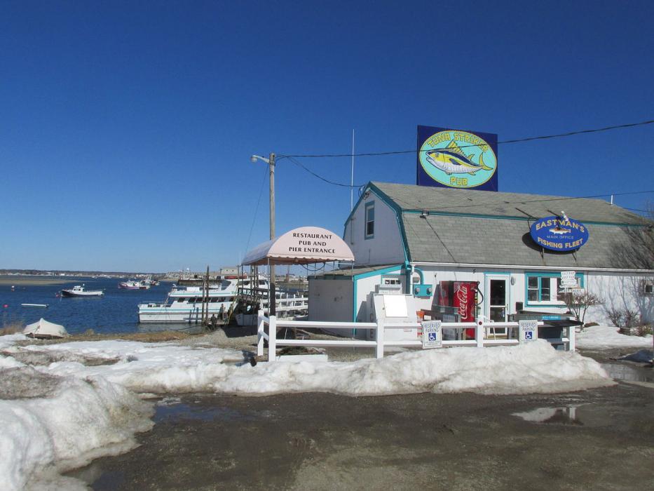
Restaurants
Spirits Distillery
Weblinks
Comments
You need to log in to add comment