


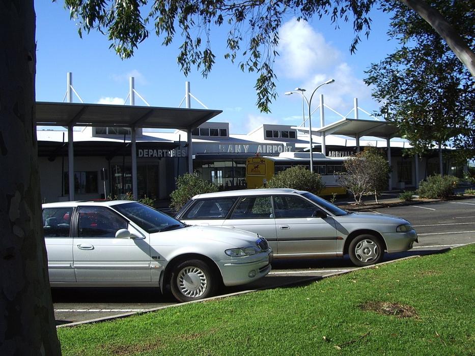
Gallery


Map and nearest places
| Longitude | Latitude |
|---|---|
| -34.9433333333333 | 117.808888888889 |
| 34°56'0"S | 117°48'0"E |
| Nearest places | ||
|---|---|---|
| Albany | 11.0km | |
| Mount Barker | 37.2km | |
| Denmark | 41.6km | |
| Kendenup | 53.4km | |
| Pemberton | 170.3km | |
| Manjimup | 172.5km | |
| Ravensthorpe Airport | 254.4km | |
| Busselton Regional Airport | 261.7km | |
| Bunbury Airport | 262.2km | |
| Jandakot Airport | 363.5km | |
| Perth Airport | 375.1km | |
| Esperance Airport | 394.3km | |
| John Paul II International Airport | 13,437.2km | |
| L.F. Wade International Airport | 19,647.3km | |
General informations
| Airport type | Regional airport |
| ICAO | YABA |
| IATA | ALH |
| Elevation | 233 ft / 71 m MSL |
| World Pax Ranking 2023 | #1410(+164) |
| World Pax Ranking 2022 | #1574(+18) |
| World Pax Ranking 2021 | #1592(+13) |
| World Pax Ranking 2020 | #1605(+191) |
| World Pax Ranking 2019 | #1796(+69) |
| World Pax Ranking 2018 | #1865(-55) |
| World Pax Ranking 2017 | #1810(+33) |
| World Pax Ranking 2016 | #1843(-24) |
| World Pax Ranking 2015 | #1819(+3) |
| World Pax Ranking 2014 | #1822(-38) |
| World Pax Ranking 2013 | #1784(-65) |
| World Pax Ranking 2012 | #1719(-72) |
| World Pax Ranking 2011 | #1647(-52) |
| World Pax Ranking 2010 | #1595(-2) |
| Year | Pax |
|---|---|
| 2024 | 67116 |
| 2023 | 63226 |
| 2022 | 55417 |
| 2021 | 48414 |
| 2020 | 33640 |
| 2019 | 62241 |
| 2018 | 60639 |
| 2017 | 56561 |
| 2016 | 54407 |
| 2015 | 53557 |
| 2014 | 60055 |
| 2013 | 58371 |
| 2012 | 58988 |
| 2011 | 58363 |
| 2010 | 52535 |
| 2009 | 52805 |
| 2008 | 57401 |
| 2007 | 51186 |
| 2006 | 49824 |
| 2005 | 43682 |
| 2004 | 37462 |
| 2003 | 34303 |
| 2002 | 32351 |
| 2001 | 43565 |
| 2000 | 43449 |
| 1999 | 37389 |
| 1998 | 32829 |
| 1997 | 30567 |
| 1996 | 27940 |
| 1995 | 21176 |
Weblinks
Comments
On 02-02-2020 13:30 Jerzy said:
Distance from Albany to Sydney (Albany Airport (Western Australia) – Sydney Airport) is 1898 miles / 3054 kilometers / 1649 nautical miles.
You need to log in to add comment
Distance from Albany to Sydney (Albany Airport (Western Australia) – Sydney Airport) is 1898 miles / 3054 kilometers / 1649 nautical miles.
You need to log in to add comment