


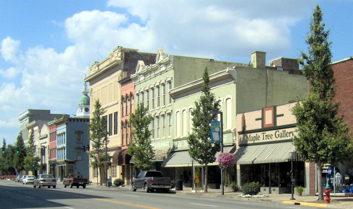
Gallery


Map and nearest places
| Longitude | Latitude |
|---|---|
| 37.645556 | -84.769722 |
| 37°38'0"N | 84°46'0"W |
| Nearest places | ||
|---|---|---|
| Harrodsburg | 14.8km | |
| Stanford | 15.9km | |
| Wilmore | 25.9km | |
| Nicholasville | 31.4km | |
| Springfield | 40.1km | |
| Lebanon-Springfield Airport | 41.6km | |
| Lebanon | 43.7km | |
| Blue Grass Airport | 45.8km | |
| Taylor County Airport | 57.3km | |
| Capital City Airport | 60.9km | |
| Samuels Field Airport | 66.9km | |
| Lake Cumberland Regional Airport | 67.2km | |
| John Paul II International Airport | 7,792.5km | |
| Busselton Regional Airport | 18,145.2km | |
Accomodation
Restaurants
Golfs club
Spirits Distillery
Breweries
Weblinks
Comments
You need to log in to add comment