


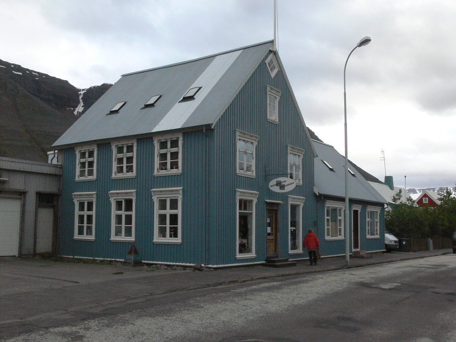
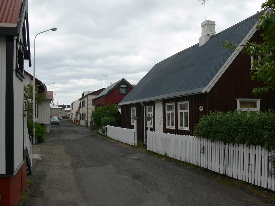
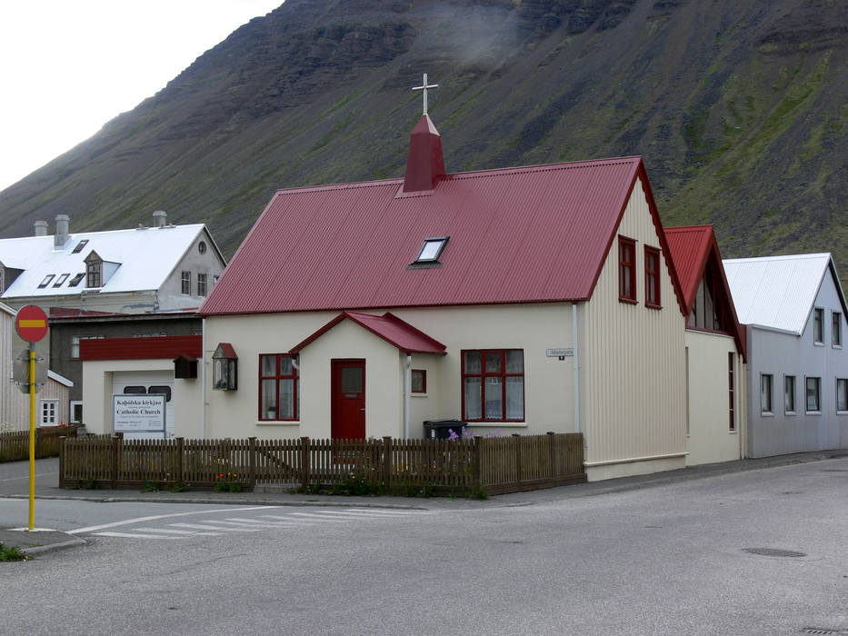
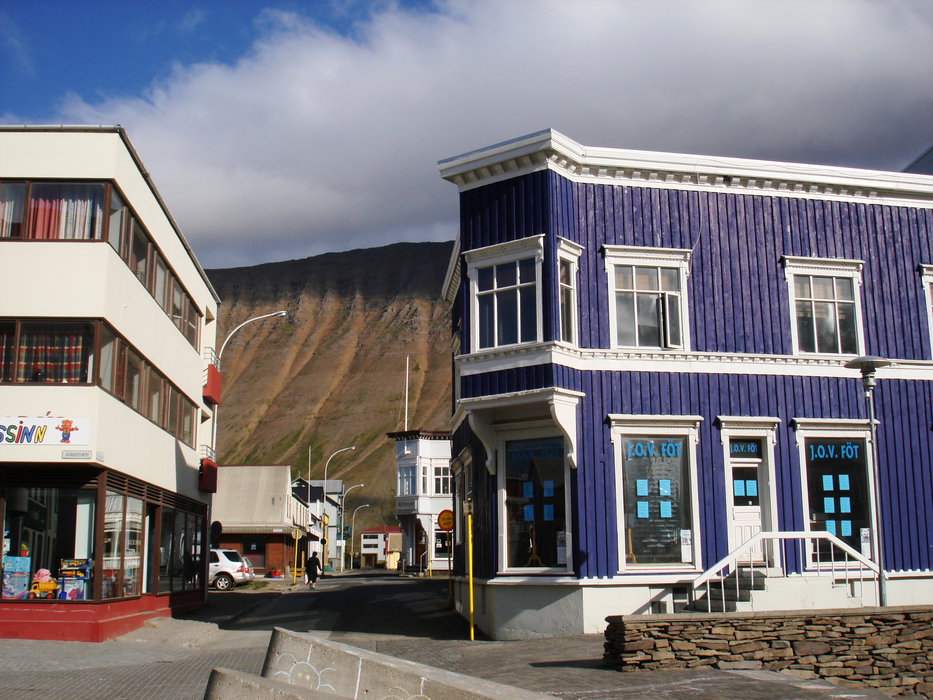
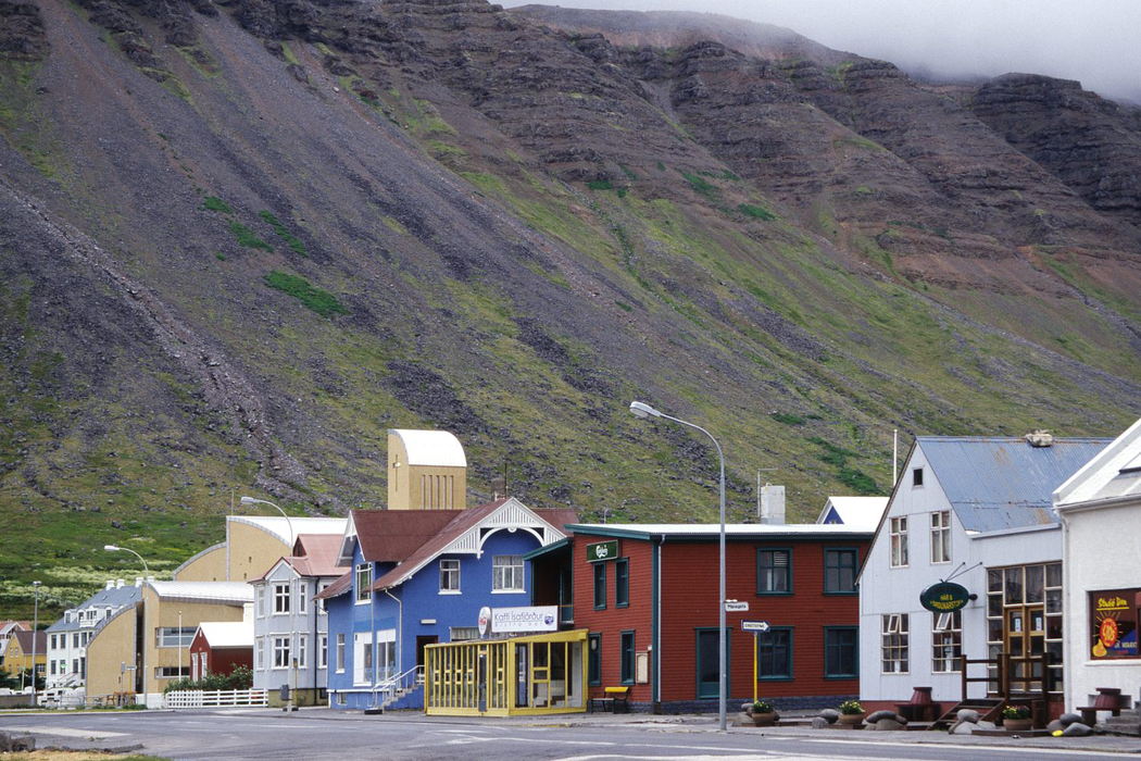
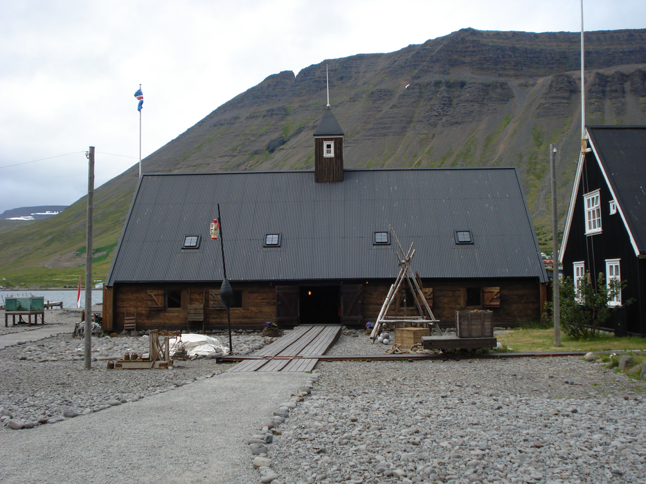
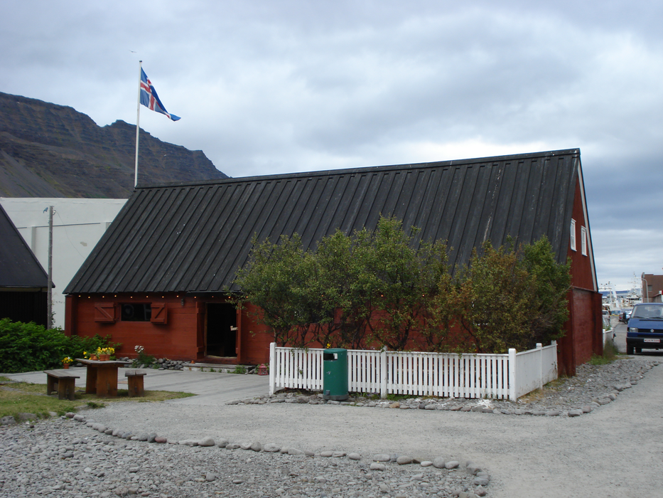
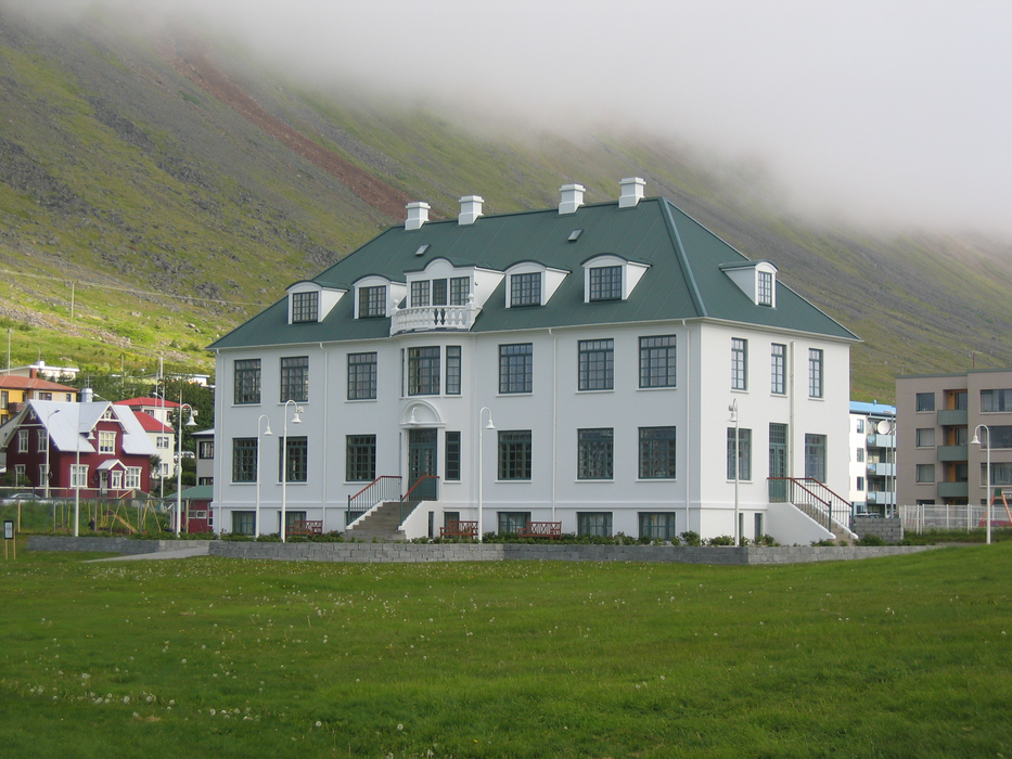
Gallery


Map and nearest places
| Longitude | Latitude |
|---|---|
| 66.0758333333333 | -23.1266666666667 |
| 66°4'0"N | 23°7'0"W |
| Nearest places | ||
|---|---|---|
| Isafjordur Airport | 2.0km | |
 | Bolungarvik | 9.9km |
| Pingeyri | 27.6km | |
| Pingeyri Airport | 30.1km | |
 | Bildudalur | 49.3km |
| Bildudalur Airport | 52.0km | |
| Patreksfjordur | 67.7km | |
| Patreksfjordur Airport | 69.3km | |
| Djupavik | 72.4km | |
| �rneshreppur | 76.4km | |
| Holmavik Airport | 77.0km | |
| Reykholar Airport | 80.8km | |
| John Paul II International Airport | 2,993.5km | |
| Stewart Island Airport | 17,782.2km | |
Accomodation

Museums
Airports
Weblinks
Comments
You need to log in to add comment