


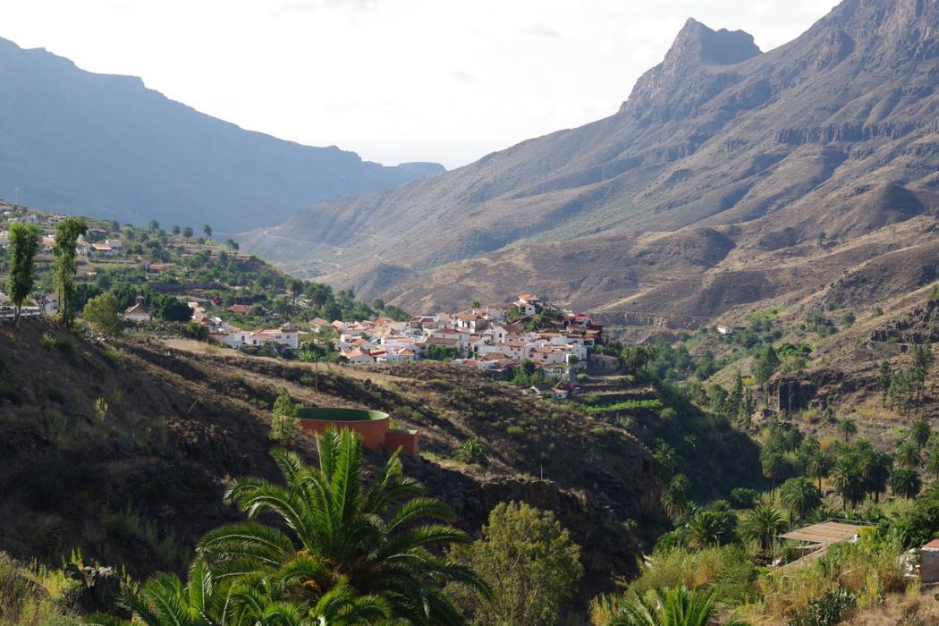
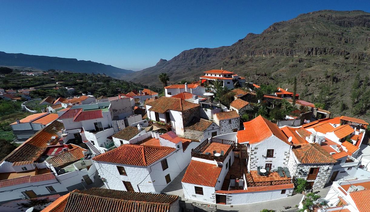
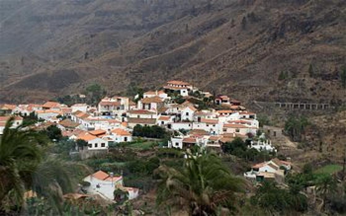
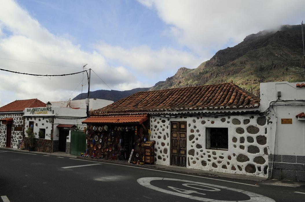


Map and nearest places
| Longitude | Latitude |
|---|---|
| 27.887606 | -15.564848 |
| 27°53'0"N | 15°33'0"W |
| Nearest places | ||
|---|---|---|
 | San Bartolomé de Tirajana | 4.3km |
| Gran Canaria Airport | 18.0km | |
| Teror | 19.1km | |
 | Mogan | 21.2km |
 | Las Palmas - Gran Canaria Island | 30.3km |
| San Andrés | 92.2km | |
 | Santa Cruz de Tenerife | 93.0km |
| Reina Sofia International Airport | 100.5km | |
| Los Rodeos Airport | 100.9km | |
| La Gomera Airport | 162.8km | |
| Fuerteventura Airport | 177.8km | |
| Lanzarote Airport | 224.9km | |
| John Paul II International Airport | 3,867.2km | |
| Norfolk Island Airport | 19,649.4km | |
Accomodation
Weblinks
Comments
You need to log in to add comment