


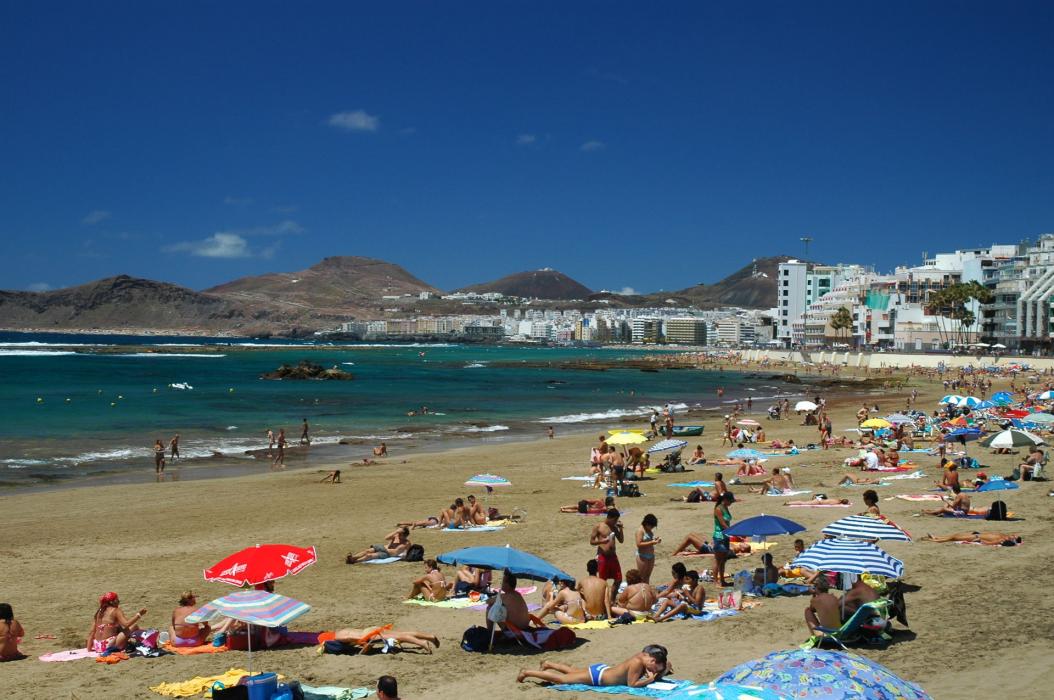
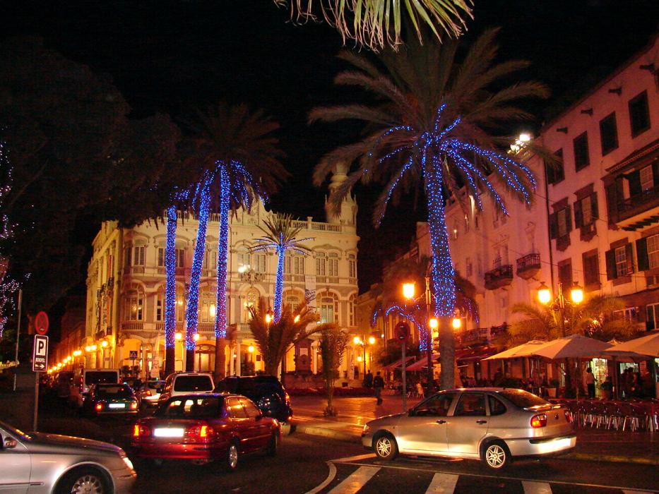
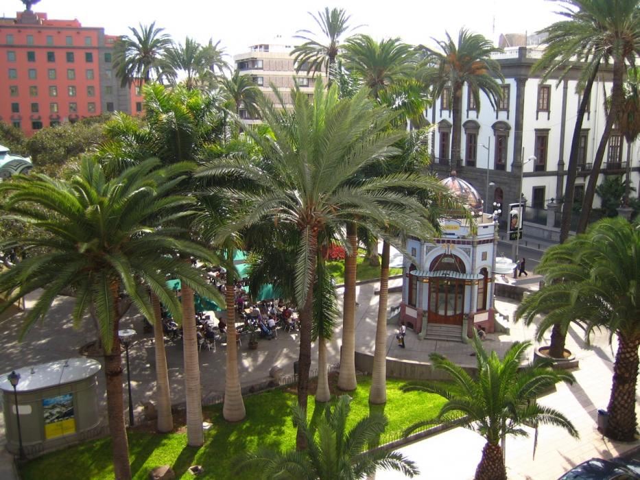
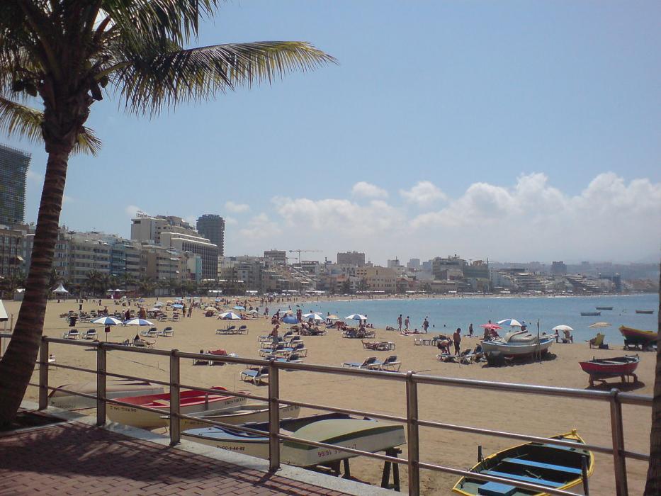
Gallery


Map and nearest places
| Longitude | Latitude |
|---|---|
| 28.135 | -15.435 |
| 28°8'0"N | 15°26'0"W |
| Nearest places | ||
|---|---|---|
| Teror | 13.9km | |
| Gran Canaria Airport | 23.4km | |
 | San Bartolom� de Tirajana | 26.9km |
| Fataga | 30.3km | |
 | Mogan | 48.0km |
| San Andr�s | 84.8km | |
 | Santa Cruz de Tenerife | 87.9km |
| Los Rodeos Airport | 96.8km | |
| Reina Sofia International Airport | 112.0km | |
| Fuerteventura Airport | 157.5km | |
| La Gomera Airport | 175.0km | |
| Lanzarote Airport | 200.2km | |
| John Paul II International Airport | 3,838.0km | |
| Norfolk Island Airport | 19,670.6km | |
Accomodation

Restaurants
Airports
Weblinks
Comments
You need to log in to add comment