


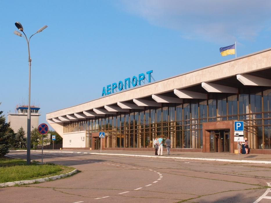
Gallery


Map and nearest places
| Longitude | Latitude |
|---|---|
| 46.668056 | 32.502222 |
| 46°40'0"N | 32°30'0"E |
| Nearest places | ||
|---|---|---|
 | Kherson | 7.6km |
 | Mykolaiv | 51.6km |
| International Airport Mykolaiv | 62.0km | |
 | Odessa | 137.1km |
| Odessa International Airport | 142.2km | |
 | Chornomorsk | 147.0km |
 | Kryvyi Rih | 153.2km |
| Kryvyi Rih International Airport | 161.9km | |
 | Kropyvnytskyi | 204.5km |
| Simferopol International Airport | 212.8km | |
| Zaporizhzhya International Airport | 250.7km | |
| Dnipropetrovsk International Airport | 270.8km | |
| John Paul II International Airport | 1,011.4km | |
| Tuuta Airport | 17,738.6km | |
General informations
| Airport type | Regional airport |
| ICAO | UKOH |
| IATA | KHE |
| Elevation | 148 ft / 45 m MSL |
| World Pax Ranking 2019 | #1538(+55) |
| World Pax Ranking 2018 | #1593(+35) |
| World Pax Ranking 2017 | #1628(+168) |
| World Pax Ranking 2016 | #1796(-10) |
| World Pax Ranking 2015 | #1786 |
| Year | Pax |
|---|---|
| 2019 | 154046 |
| 2018 | 150100 |
| 2017 | 105900 |
| 2016 | 62557 |
| 2015 | 61235 |
Weblinks
Comments
You need to log in to add comment