


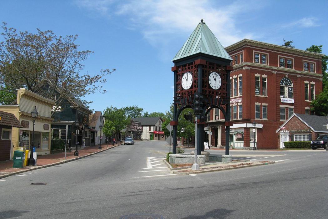
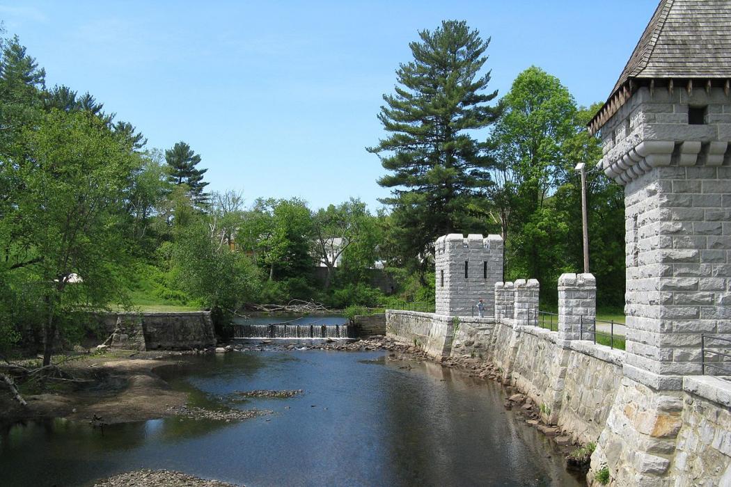
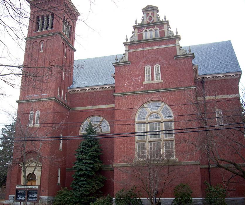


Map and nearest places
| Longitude | Latitude |
|---|---|
| 42.726111 | -71.191389 |
| 42°43'0"N | 71°11'0"W |
| Nearest places | ||
|---|---|---|
 | Lawrence | 3.1km |
| Lawrence Municipal Airport | 5.6km | |
 | Haverhill | 10.8km |
| Derry | 20.4km | |
| Londonderry | 21.1km | |
 | Nashua | 22.6km |
 | Bedford | 27.1km |
| Boire Field Airport | 27.1km | |
| Beverly Municipal Airport | 27.5km | |
| Laurence G Hanscom Field Airport | 29.6km | |
| Plum Island Airport | 29.7km | |
| Manchester-Boston Regional Airport | 30.4km | |
| John Paul II International Airport | 6,580.7km | |
| Busselton Regional Airport | 18,858.3km | |
Weblinks
Comments
You need to log in to add comment