


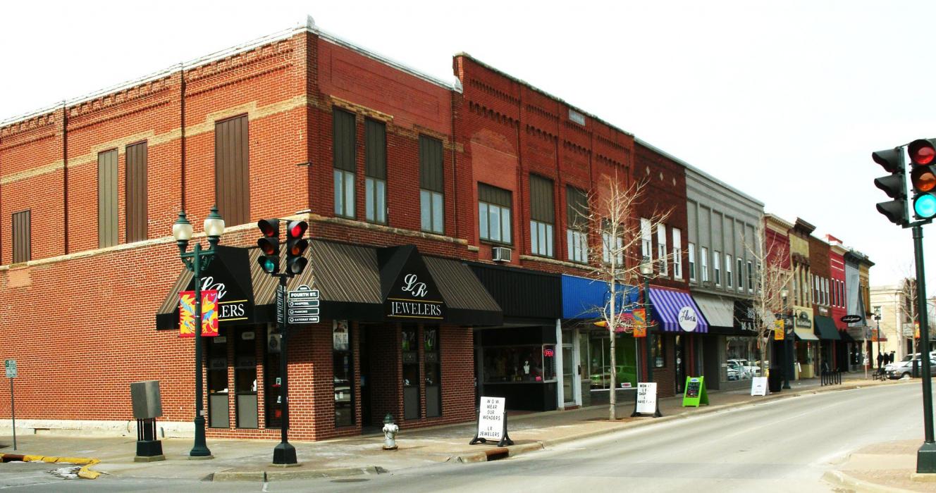
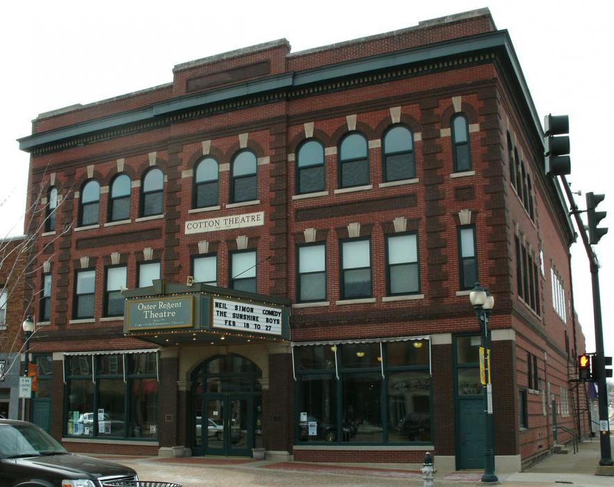
Gallery


Map and nearest places
| Longitude | Latitude |
|---|---|
| 42.52352 | -92.446402 |
| 42°31'0"N | 92°26'0"W |
| Nearest places | ||
|---|---|---|
| Waterloo Municipal Airport | 5.3km | |
| Waterloo | 8.9km | |
| Vinton Veterans Memorial Airpark | 48.4km | |
| Vinton | 52.8km | |
| Marshalltown Municipal Airport | 59.9km | |
| Northeast Iowa Regional Airport | 62.5km | |
| Charles City | 63.2km | |
| Marshalltown | 66.0km | |
| Iowa Falls | 67.3km | |
| Iowa Falls Municipal Airport | 67.8km | |
 | Cedar Rapids | 87.8km |
| The Eastern Iowa Airport | 93.5km | |
| John Paul II International Airport | 7,801.3km | |
| Busselton Regional Airport | 17,403.6km | |
Accomodation
Museums
Golfs club
Breweries
Weblinks
Comments
You need to log in to add comment