


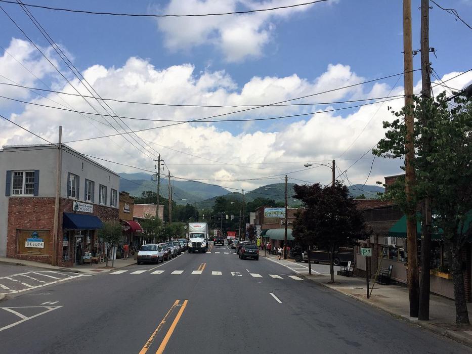
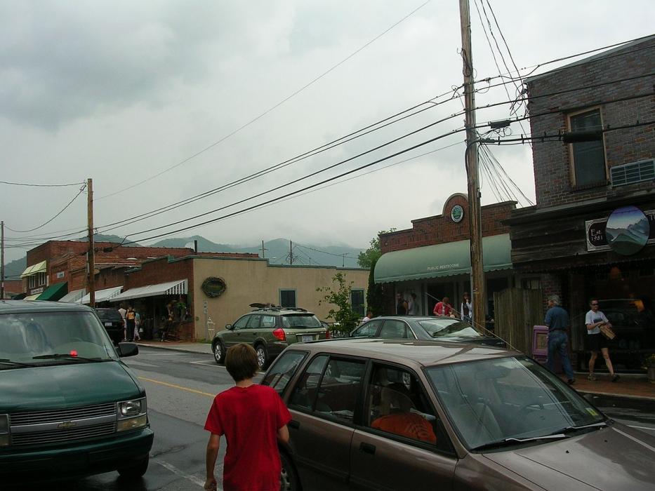
Gallery


Map and nearest places
| Longitude | Latitude |
|---|---|
| 35.619167 | -82.325556 |
| 35°37'0"N | 82°19'0"W |
| Nearest places | ||
|---|---|---|
 | Asheville | 21.3km |
| Mountain Air Airport | 27.8km | |
| Asheville Regional Airport | 28.2km | |
| Burnsville | 33.4km | |
| Mills River | 33.7km | |
| Hendersonville | 35.4km | |
| Hendersonville Airport | 36.0km | |
| Rutherford County Airport-Marchman Field | 41.2km | |
| Rutherfordton | 43.5km | |
| Canton | 47.2km | |
| Transylvania County Airport | 48.4km | |
| Foothills Regional Airport | 68.2km | |
| John Paul II International Airport | 7,816.3km | |
| Busselton Regional Airport | 18,382.4km | |
Accomodation
Restaurants
Golfs club
Wineries
Breweries
Weblinks
Comments
You need to log in to add comment