


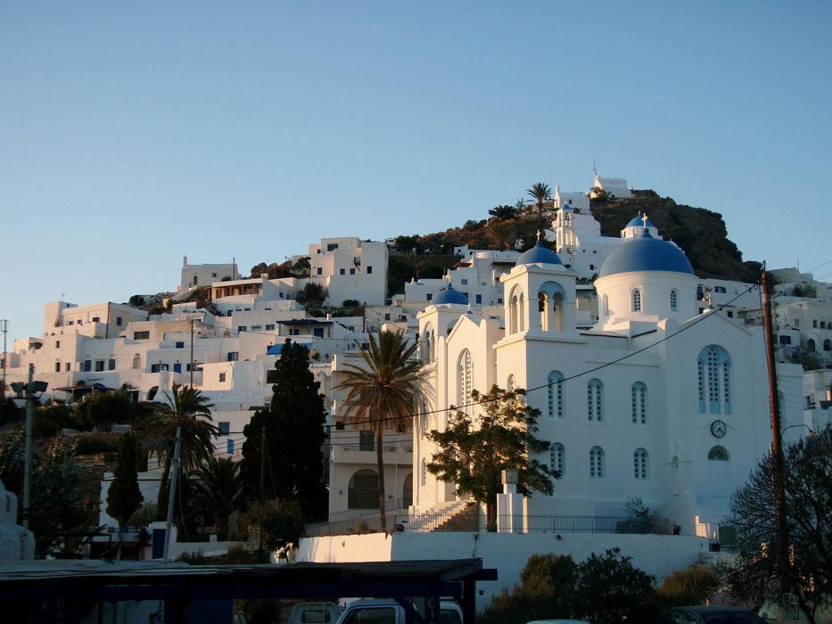
_1255754183_700.jpg)


Map and nearest places
| Longitude | Latitude |
|---|---|
| 36.716667 | 25.333333 |
| 36°43'0"N | 25°19'0"E |
| Nearest places | ||
|---|---|---|
| Iraklia Island | 16.6km | |
| Koufonissia | 33.8km | |
| Santorini | 34.5km | |
| Santorini National Airport | 37.6km | |
| Paros Airport | 37.8km | |
| Folegandros Island | 40.2km | |
| Naxos Airport | 40.6km | |
| Antiparos Island | 41.3km | |
| Naxos | 42.5km | |
| Milos Island National Airport | 76.3km | |
| Mykonos Island National Airport | 79.9km | |
| Syros Airport | 85.5km | |
| John Paul II International Airport | 1,550.7km | |
| Tubuai - Mataura Airport | 18,450.9km | |
Accomodation
Restaurants
Weblinks
Comments
You need to log in to add comment