


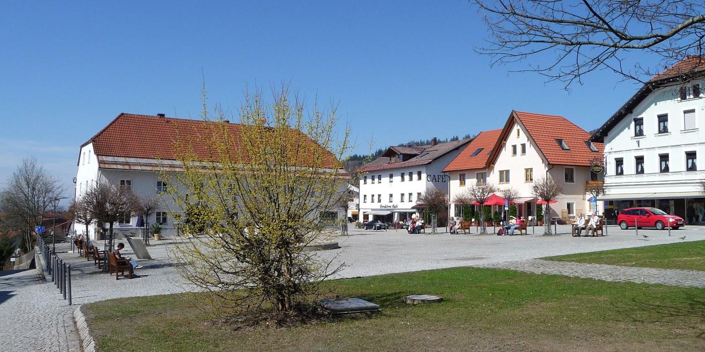
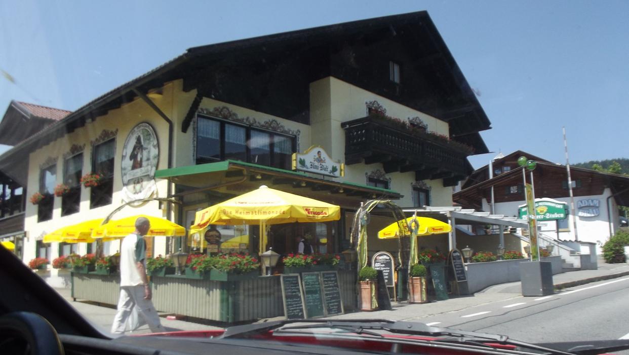

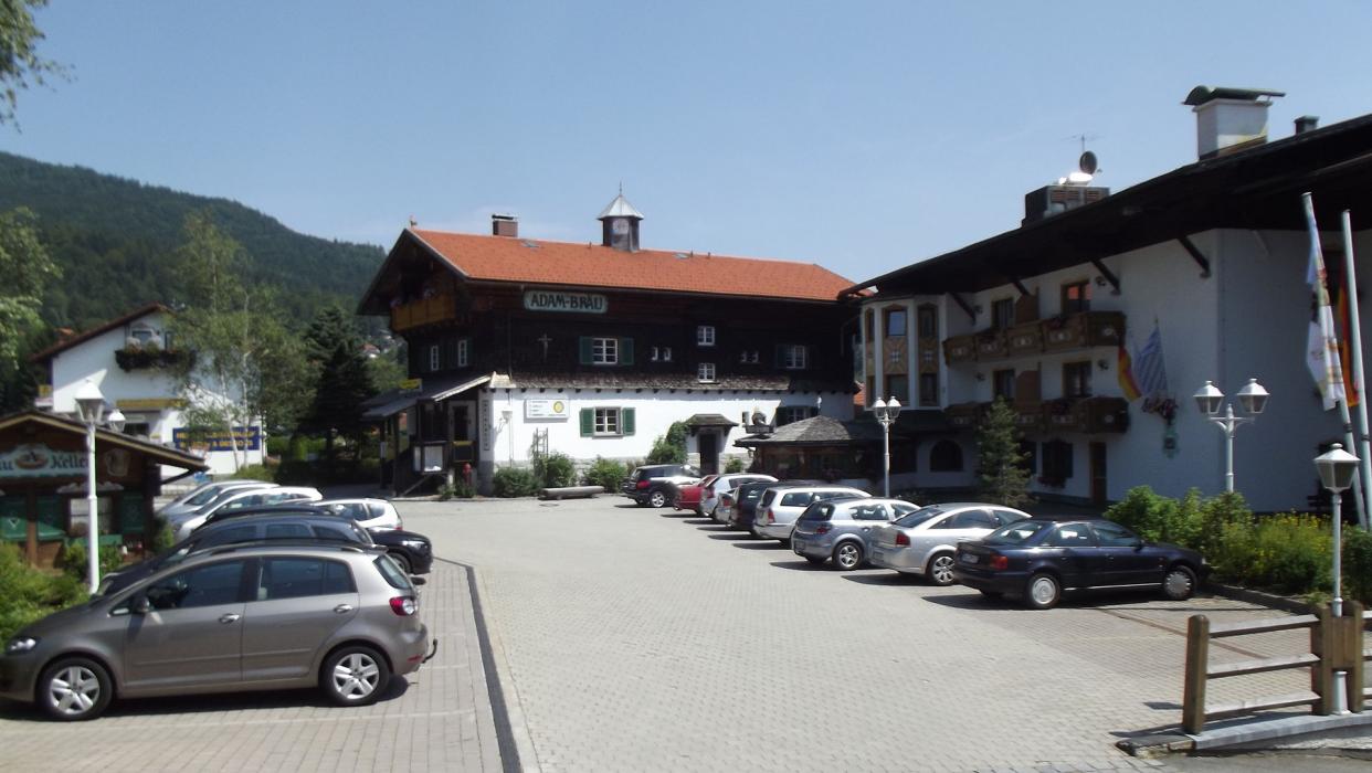
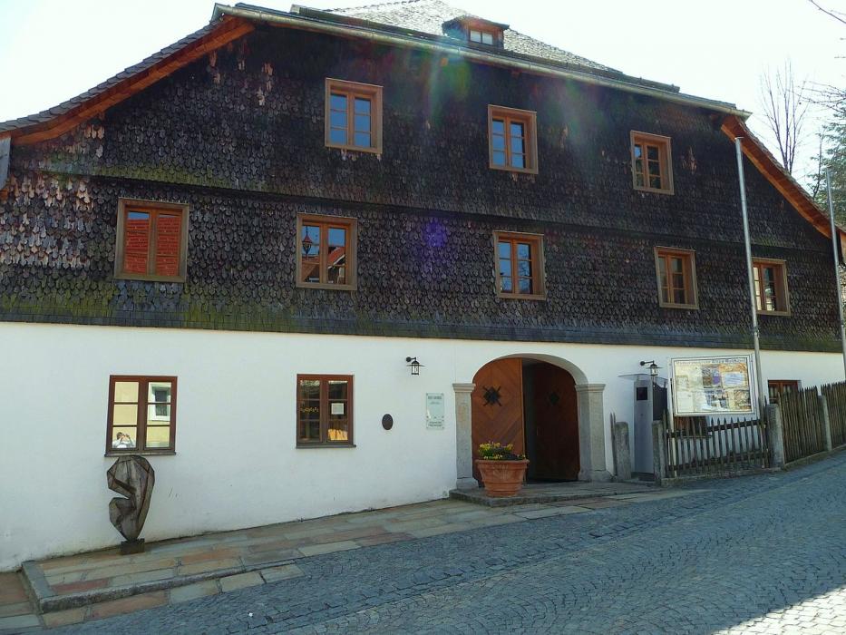


Map and nearest places
| Longitude | Latitude |
|---|---|
| 49.066667 | 13.1 |
| 49°4'0"N | 13°5'0"E |
| Nearest places | ||
|---|---|---|
 | Bad K�tzting | 21.6km |
 | Modrava | 26.3km |
 | Deggendorf | 27.7km |
 | Furth im Wald | 33.9km |
 | Kasperske Hory | 34.5km |
 | Susice | 35.6km |
| Landshut Airport | 99.4km | |
| Wels Airport | 120.1km | |
| Ingolstadt Airport | 121.0km | |
| Blue Danube Airport | 122.3km | |
| Franz Josef Straus International Airport | 124.7km | |
| Karlovy Vary International Airport | 127.1km | |
| John Paul II International Airport | 494.8km | |
| Tuuta Airport | 19,079.3km | |
Accomodation

Regions
Weblinks
Comments
You need to log in to add comment