


Gallery
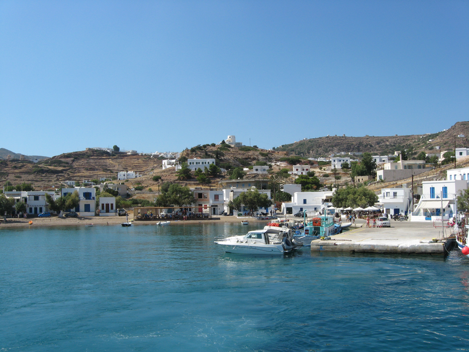


Map and nearest places
| Longitude | Latitude |
|---|---|
| 36.8 | 24.55 |
| 36°47'0"N | 24°33'0"E |
| Nearest places | ||
|---|---|---|
| Milos Island National Airport | 13.2km | |
| Milos - Milos Island | 17.8km | |
| Folegandros Island | 37.3km | |
| Serifos Island | 40.5km | |
| Antiparos Island | 48.4km | |
| Paros Airport | 56.6km | |
| Paros | 61.9km | |
| Kythnos Island | 65.9km | |
| Syros Airport | 77.8km | |
| Naxos Airport | 79.1km | |
| Santorini National Airport | 94.2km | |
| Mykonos Island National Airport | 100.0km | |
| John Paul II International Airport | 1,524.9km | |
| Tubuai - Mataura Airport | 18,417.1km | |
Weblinks
Comments
You need to log in to add comment