


Gallery


Map and nearest places
| Longitude | Latitude |
|---|---|
| 45.884167 | -82.568333 |
| 45°53'0"N | 82°34'0"W |
| Nearest places | ||
|---|---|---|
| Gore Bay | 8.7km | |
| Elliot Lake | 55.9km | |
| Elliot Lake Municipal Airport | 75.3km | |
| Killarney Airport | 83.7km | |
| Drummond Island | 85.9km | |
| Drummond Island Airport | 92.0km | |
| Tobermory | 99.5km | |
| Tobermory Airport | 103.8km | |
| Alpena | 113.6km | |
| Alpena County Regional Airport | 118.4km | |
 | Sudbury | 137.6km |
| Chippewa County International Airport | 152.4km | |
| John Paul II International Airport | 6,997.9km | |
| Busselton Regional Airport | 17,975.9km | |
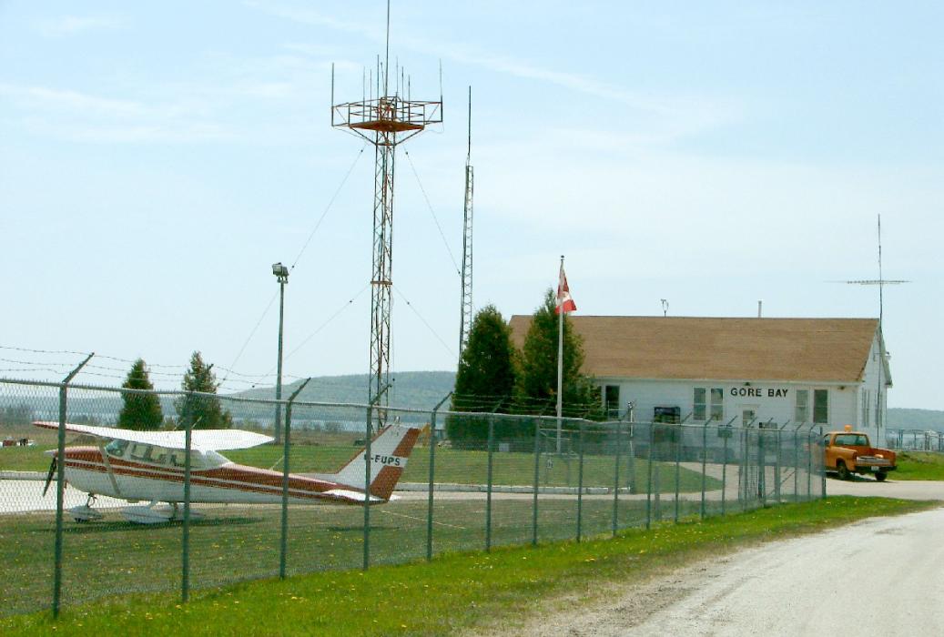
General informations
| Airport type | Local airport |
| ICAO | CYZE |
| IATA | YZE |
| Elevation | 623 ft / 190 m MSL |
Weblinks
Comments
You need to log in to add comment