


Map and nearest places
| Longitude | Latitude |
|---|---|
| 59.368888888888904 | 28.1872222222222 |
| 59°22'0"N | 28°11'0"E |
| Nearest places | ||
|---|---|---|
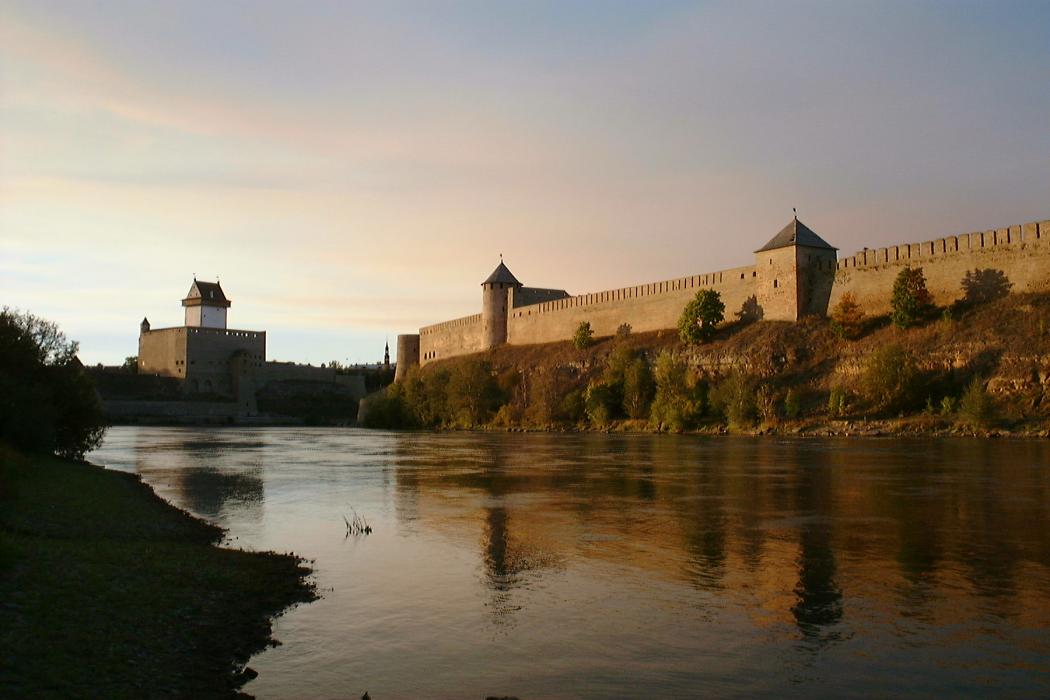
_1410125994_16.png) | Ivangorod | 1.7km |
 | Rakvere | 104.1km |
| Pulkovo Airport | 125.6km | |
 | St Petersburg | 132.6km |
 | Tartu | 138.4km |
 | Kotka | 140.4km |
 | Hamina | 144.4km |
| Tartu Airport | 146.2km | |
| Utti Airport | 183.4km | |
| Lappeenranta Airport | 186.3km | |
| Tallinn Airport | 191.9km | |
| Helsinki-Malmi Airport | 201.5km | |
| John Paul II International Airport | 1,163.5km | |
| Tuuta Airport | 17,614.8km | |
Accomodation

Restaurants
Museums
Weblinks
Comments
You need to log in to add comment