


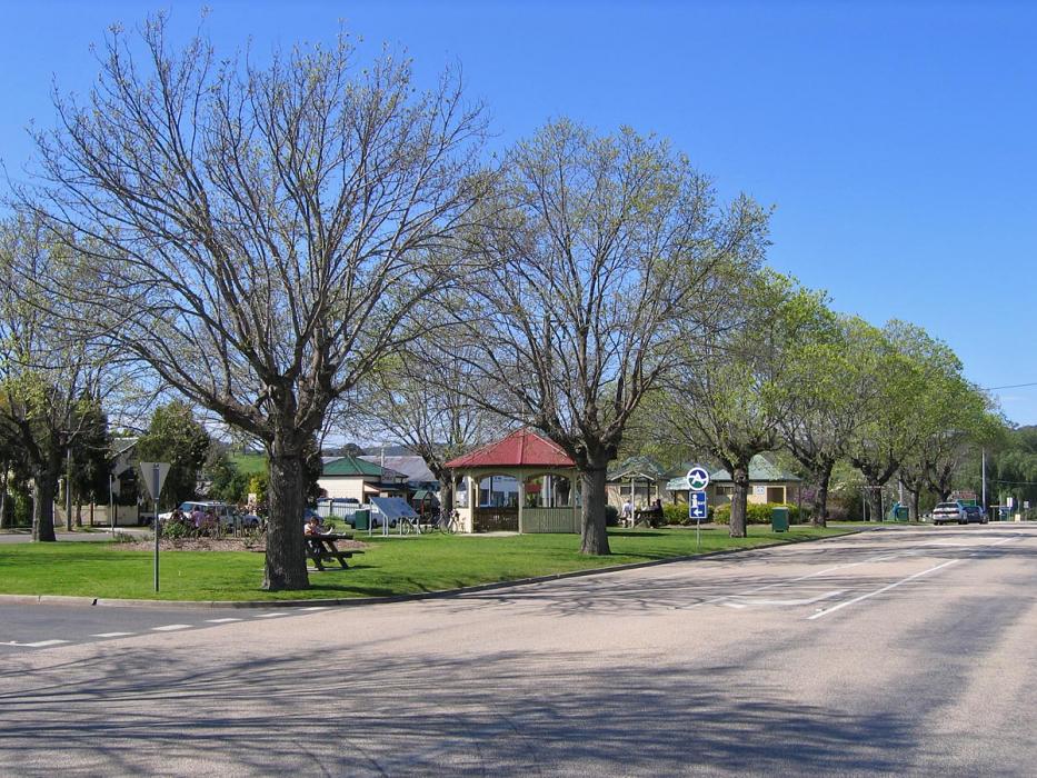
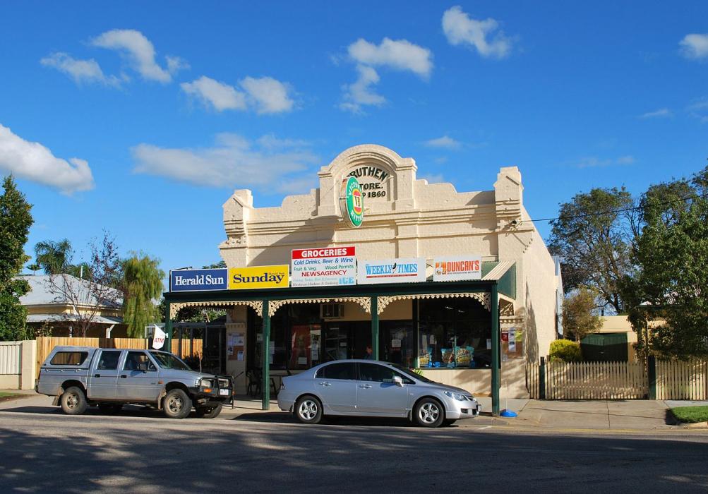
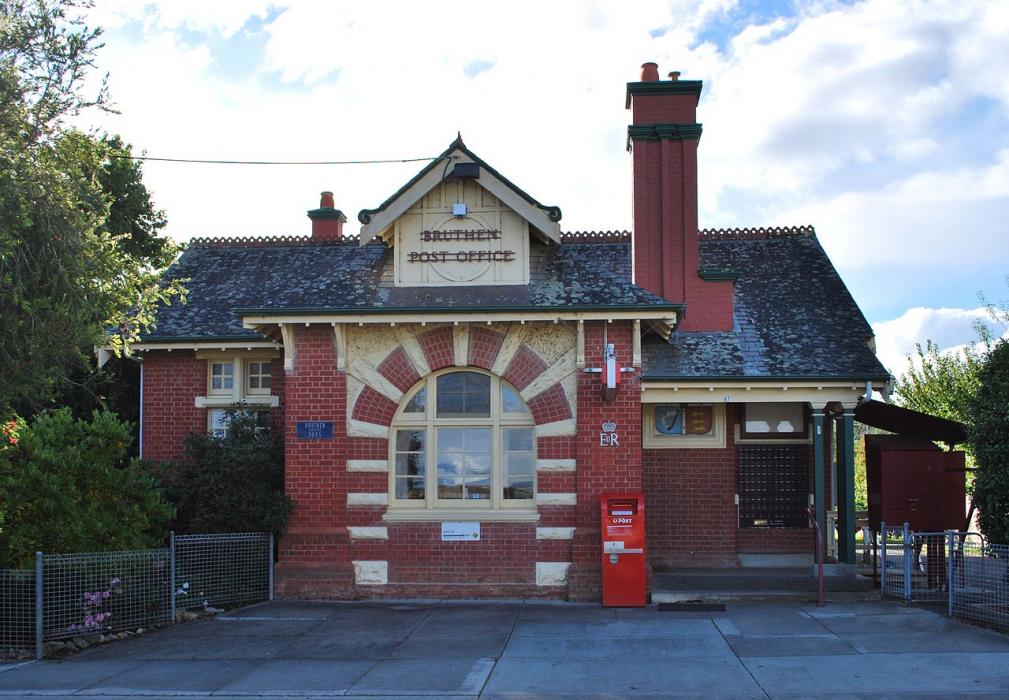


Map and nearest places
| Longitude | Latitude |
|---|---|
| -37.716667 | 147.816667 |
| 37°43'0"S | 147°49'0"E |
| Nearest places | ||
|---|---|---|
| Mount Hotham Airport | 85.8km | |
| Dinner Plain | 89.9km | |
| Mount Hotham | 100.5km | |
| Harrietville | 111.0km | |
| Mount Beauty | 123.6km | |
| Latrobe Valley Airport | 130.0km | |
| Bright | 133.5km | |
| Morwell | 136.8km | |
| Mallacoota Airport | 167.8km | |
| Corryong Airport | 170.7km | |
| Cooma Airport | 188.0km | |
| Wangaratta Airport | 197.1km | |
| John Paul II International Airport | 15,727.2km | |
| Flores Airport | 19,801.2km | |
Restaurants
Breweries
Weblinks
Comments
You need to log in to add comment