


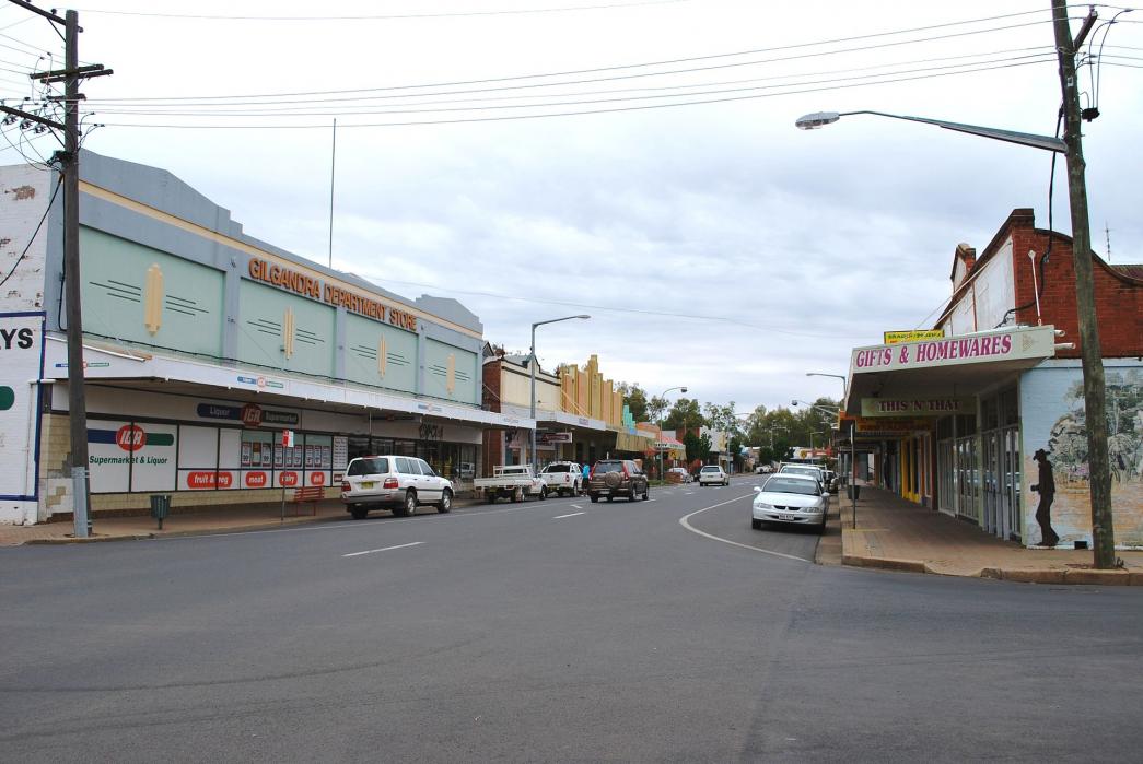


Map and nearest places
| Longitude | Latitude |
|---|---|
| -31.7 | 148.666667 |
| 31°41'0"S | 148°40'0"E |
| Nearest places | ||
|---|---|---|
| Dubbo Airport | 58.1km | |
| Dubbo | 62.2km | |
| Coonamble Airport | 84.3km | |
| Coonamble | 87.2km | |
| Wellington | 97.8km | |
| Gulgong | 109.1km | |
| Mudgee Airport | 130.8km | |
| Mudgee | 132.1km | |
| Parkes Airport | 164.1km | |
| Parkes | 166.1km | |
| Narrabari Airport | 189.2km | |
| Orange Airport | 192.0km | |
| John Paul II International Airport | 15,369.6km | |
| Horta Airport | 19,220.3km | |
Accomodation
Weblinks
Comments
You need to log in to add comment