


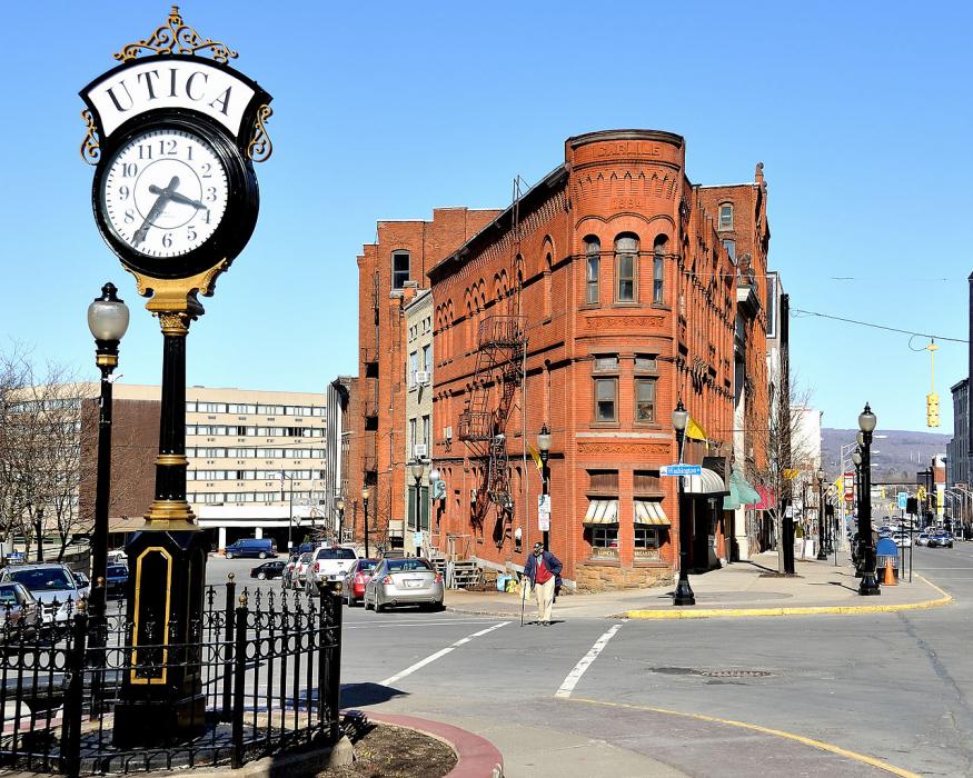
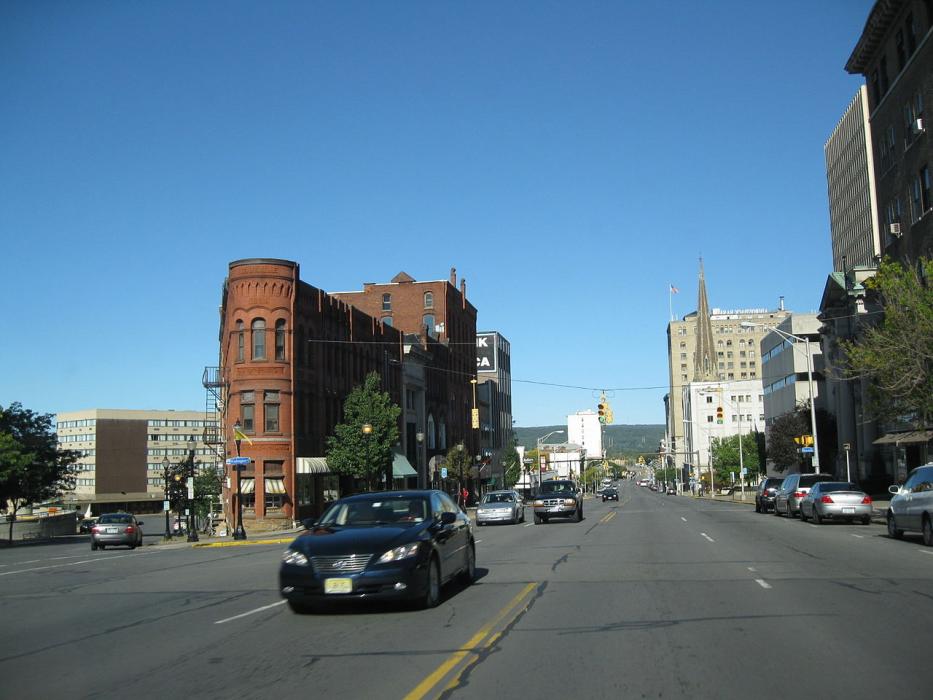
Gallery


Map and nearest places
| Longitude | Latitude |
|---|---|
| 43.094722 | -75.275833 |
| 43°5'0"N | 75°16'0"W |
| Nearest places | ||
|---|---|---|
| New Hartford | 3.0km | |
| Oneida | 30.7km | |
| Lebanon | 44.5km | |
| Cazenovia | 50.3km | |
| Cooperstown | 52.5km | |
| Cooperstown-Westville Airport | 60.5km | |
| Lt. Warren Eaton Airport | 62.1km | |
| Sharon Springs | 63.2km | |
| Oneonta Municipal Airport | 65.7km | |
| Sharon Airport | 66.8km | |
| Syracuse Hancock International Airport | 67.4km | |
| Piseco Airport | 73.2km | |
| John Paul II International Airport | 6,798.8km | |
| Busselton Regional Airport | 18,618.2km | |
Accomodation
Restaurants
Spirits Distillery
Weblinks
Comments
You need to log in to add comment