


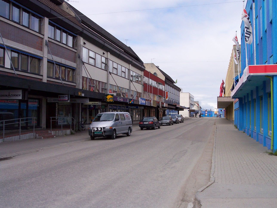
Gallery


Map and nearest places
| Longitude | Latitude |
|---|---|
| 68.7086111111111 | 15.275277777777799 |
| 68°42'0"N | 15°16'0"E |
| Nearest places | ||
|---|---|---|
| Stokmarknes Airport | 17.4km | |
| Stokmarknes | 21.4km | |
| Myre - Langoya Island | 24.7km | |
| Melbu | 29.3km | |
| Nyksund | 33.6km | |
 | Harstad | 52.2km |
| Svolvar Airport | 57.3km | |
 | Svolvaer - Lofoten Islands | 60.2km |
| Harstad/Narvik Airport, | 61.9km | |
| Andoya Airport, | 73.6km | |
| Narvik Airport | 90.9km | |
| Leknes Airport | 92.0km | |
| John Paul II International Airport | 2,086.0km | |
| Tuuta Airport | 17,164.8km | |
Restaurants
Weblinks
Comments
You need to log in to add comment